| Author | Gale | |
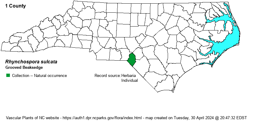
| Distribution | First collected in NC by Bruce Sorrie at a clay-based Carolina bay in Scotland County in 1992, but misidentified as R. microcarpa. Another was collected by Eric Ungberg in a neighboring Carolina bay in 2020; it was Ungberg who pointed out the correct ID of these plants.
This species ranges only from extreme southern NC to FL. | |
| Abundance | Very rare -- known from just two sites within a mile of each other. This is quite a rare plant in its rather small range, with a Global Rank of G2G4Q. It is now tracked by the NCNHP, as Significantly Rare, with a State Rank of S1. | |
| Habitat | Clay-based Carolina bays in NC. NatureServe gives its habitats as "Sandy depressions; limesink ponds". | |
| Phenology | Flowering and fruiting June-August. | |
| Identification | See Weakley (2011). | |
| Taxonomic Comments | It is very similar to R. microcarpa and can be easily confused with it. A previous collection identified as that species from a clay-based bay in Scotland County has been recently determined (in 2020) to be R. sulcata.
Members of the genus Rhynchospora -- mainly called beaksedges but also called beakrushes -- are mostly Coastal Plain in distribution and are important members of our longleaf pine savannas, flatwoods, streamheads, depression ponds, Carolina bays, and beaver ponds. They vary from small and wiry to large and coarse. Keys concentrate on features of the achenes (seeds) and the shape and arrangement of the flower clusters (spikelets). The seeds may or not have bristles at their base; bristle number, length, and toothing are critical characters. Size and shape of the seed beaks is also critical. The drawings in Godfrey & Wooten (1979) are extremely helpful. The genus now includes Dichromena, the white-topped sedges. | |
| Other Common Name(s) | Dixie Beaksedge | |
| State Rank | S1 | |
| Global Rank | G2G4Q | |
| State Status | SR-P | |
| US Status | | |
| USACE-agcp | | |
| USACE-emp | | |