| Author | Pennell | |
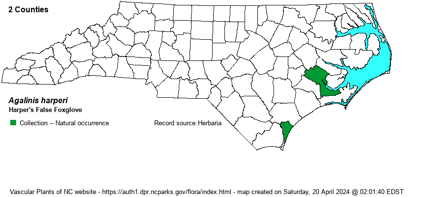
| Distribution | Two specimens were annotated as this species by Judith Canne-Hilliker in 1981. Craven County, pineland near Fort Barnwell, 13 Oct 1938, Godfrey 6772 & White (GH). New Hanover County, moist sandy pineland, Wilmington. 15 Oct 1912, Pennell 4902 (GH). Both ought to be annotated again, using the updated keys in FNA or Weakley (2022).
Southeastern NC to south FL and eastern TX; northern Bahamas. | |
| Abundance | Very rare, if still present. As this is a difficult species to identify, very similar to A. virgata and somewhat to A. purpurea, it is likely that few if any present-day biologists are aware that this species might be lurking in the Coastal Plain. Thus, the website editors suggest a State Rank simply of SU (Undetermined), and a Watch List (W7) status. | |
| Habitat | Moist pinelands -- no doubt in Longleaf Pine (Pinus palustris) savannas. | |
| Phenology | Flowering late August to mid-October. | |
| Identification | This Agalinis is similar to A. purpurea and A. virgata, being rather tall, with the branches ascending, as in A. virgata. However, the leaves are extremely narrow -- filiform -- barely 1 mm wide; A. purpurea and A. virgata leaves are indeed linear but can range to about 4 mm wide (1/6-inch). The rose-purple flowers are similar, but average somewhat smaller than for A. purpurea. In general, the flowers are more in a slender and vertical raceme along a branch, and not scattered all over the bushier growth form as seen in A. purpurea. Thus, its appearance should resemble A. virgata but with even narrower leaves. | |
| Taxonomic Comments | This species has in the past been named as A. pinetorum, but has been lumped within A. harperi.
| |
| Other Common Name(s) | St. Marks False Foxglove, Coastal Plain False Foxglove | |
| State Rank | [SU] | |
| Global Rank | G4? | |
| State Status | [W7] | |
| US Status | | |
| USACE-agcp | | |
| USACE-emp | | |