| Author | (L.) Yates | |
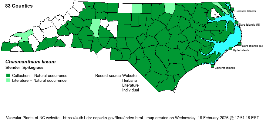
| Distribution | From the Outer Banks/barrier islands to the upper Piedmont; scarce in the Mountains proper. Seemingly absent from most of the northern and central Mountains.
NY, KY, and OK south to southern FL and eastern TX. | |
| Abundance | Common throughout, except uncommon on the Outer Banks/barrier islands, rare in most of the Mountains, uncommon in southern Mountain counties. | |
| Habitat | Moist to seasonally wet savannas and flatwoods, pocosin ecotones, streamhead ecotones and seepages, small stream swamps, creeksides/streamsides, swamp forests. | |
| Phenology | Flowering and fruiting June-October. | |
| Identification | Slender Spikegrass tends to grow in patches or clumps of plants from short horizontal rhizomes. The leaves are about 1 foot long, 3-7 mm wide, an arching. The flowering stem is 2-3 feet tall; the upper half is the actual inflorescence, a series of very short erect branches with rather crowded spikelets (occasionally sparse). Each spikelet usually has 3-5 florets. Longleaf Spikegrass (C. sessiliflorum) is very similar, but it usually has more florets per spikelet (4-7 instead of 3-5 florets in C. laxum), has pilose leaf sheaths (vs. smooth in C. laxum), and occupies mesic slopes and flats instead of wet forests and other damp ground habitats. | |
| Taxonomic Comments | Older references named this as Uniola laxa.
| |
| Other Common Name(s) | Slender Woodoats. Most references use "woodoats" for many members of Chasmanthium; however, NatureServe and Weakley (2025) use "spikegrass" as the main group name -- for species with narrow, spike-like inflorescences. In general, "oats" as part of the common name is best used for species with very large and flattened spikelets, as in C. latifolium [River Oats] and Uniola paniculata [Sea Oats]. | |
| State Rank | S4 [S5] | |
| Global Rank | G5 | |
| State Status | | |
| US Status | | |
| USACE-agcp | FACW link |
| USACE-emp | FAC link |