| Author | Small | |
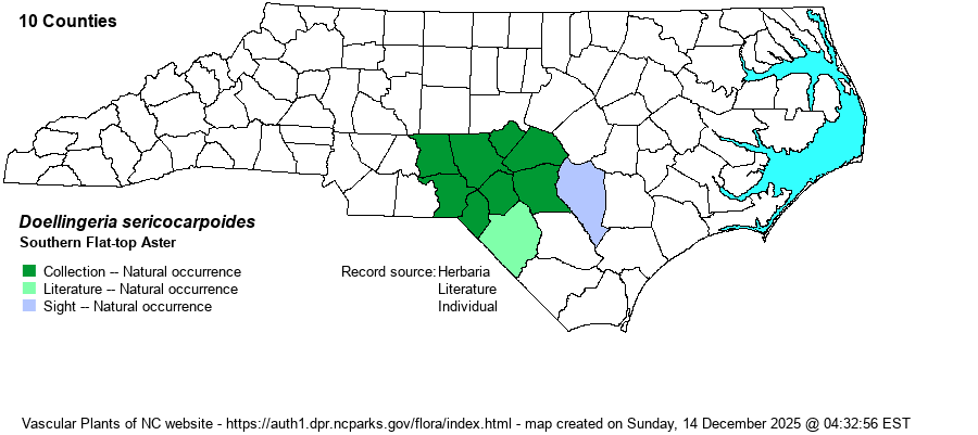
| Distribution | Almost restricted to the Sandhills proper. Specimens from Montgomery County (1956, NCU) are from a wet streamhead of Naked Creek; the Sampson County site is a wet area in a powerline clearing with many pocosin and savanna plant species. Several specimens from the Piedmont and Mountains are misidentified and are D. umbellata.
Coastal Plain, from NJ (?), southeastern VA (?), and south-central NC to northern FL, west to eastern TX, southeastern OK, and central AR.
| |
| Abundance | Uncommon to locally common in the Sandhills; rare eastward to Sampson County. | |
| Habitat | Wet blackwater streamheads and ecotones, including wet powerline clearings, often towering above associated shrubs. Very tolerant of fire, and requires it or woody plant reduction to be viable over the long term. |
| Phenology | Flowering and fruiting August-October. | |
| Identification | This tall aster grows 4-6 (-7) feet tall, with many lance-ovate leaves. The inflorescence is broad, many-branched, flat-topped to rounded, with white rays and yellow disks (later turning brown). Note the wet habitat -- it usually grows with sphagnum moss. | |
| Taxonomic Comments | A supposed synonym is Aster umbellatus var. brevisquamus; based on plants in NJ and VA, but such plants need critical study. Note that two species in RAB (1968) considered as Aster species (infirmus and umbellatus) have now been moved and split into three species of Doellingeria.
| |
| Other Common Name(s) | Pocosin Flat-top Aster, Southern White-top Aster, and many others. The species formerly named as Aster umbellatus was generally named as "Flat-topped Aster". It is best to name the two tall Doellingeria species as "flat-top asters" and leave "white-top aster" to those now in the genus Sericocarpus. | |
| State Rank | S2? [S3] | |
| Global Rank | G3G5 | |
| State Status | | |
| US Status | | |
| USACE-agcp | FACW link |
| USACE-emp | FACW link |