| Author | (Poiret) C. Jeffrey | |
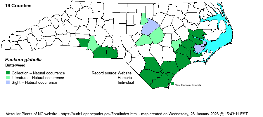
| Distribution | Southern and central Outer Coastal Plain, north to Beaufort County; sparingly into the eastern and southern Piedmont (photos on iNaturalist). Rather disjunct to Gaston County, "southwestern corner of county" in 1966; Union County, "floodplain of Waxhaw Creek" in 2011, and Anson County in 2023. Evidence suggests that the species is "moving" farther inland in recent decades and is to be looked for in other rich brownwater swamps and bottomlands in the upper Coastal Plain and lower Piedmont.
NC, OH, IL, and NE, south to northern FL and TX. | |
| Abundance | In the southeastern Coastal Plain, uncommon to locally common (in a few brownwater floodplains). Rare and local inland to Durham and Gaston counties. | |
| Habitat | Moist to wet soils of floodplains, bottomlands, and swamp forests, fresh marshes, wet agricultural fields, ditches. This species requires rich soil, such as in brownwater floodplains or wet forests over marl. | |
| Phenology | Flowering and fruiting late March - early June. | |
| Identification | Butterweed is readily identified by its annual habit and the wide, rounded leaf lobes (e.g., none narrow or pointed). The inflorescence is often multi-layered, seldom flat-topped. Plants grow 1-4 feet tall, a more robust species than any other Packera species in the state. As with some other species in the genus, a sizable stand in bloom is quite striking, especially in the dim light of a bottomland or swamp forest. | |
| Taxonomic Comments | Formerly Senecio glabellus.
| |
| Other Common Name(s) | Cressleaf Groundsel. Butterweed is a poor name, as it suggests no particular genus or family. But essentially all references and websites use this name, instead of "xxxxx Ragwort". Maybe it should be named as Butterweed Ragwort? | |
| State Rank | S3 | |
| Global Rank | G5 | |
| State Status | | |
| US Status | | |
| USACE-agcp | OBL link |
| USACE-emp | OBL link |