| North Carolina's 189 Odonate species | ||||
|---|---|---|---|---|

 »
»| Sort Species by: Family Scientific Name [ Undocumented ] |
| Related Species in CORDULEGASTRIDAE: | Number of records for 2026 = 0 | |
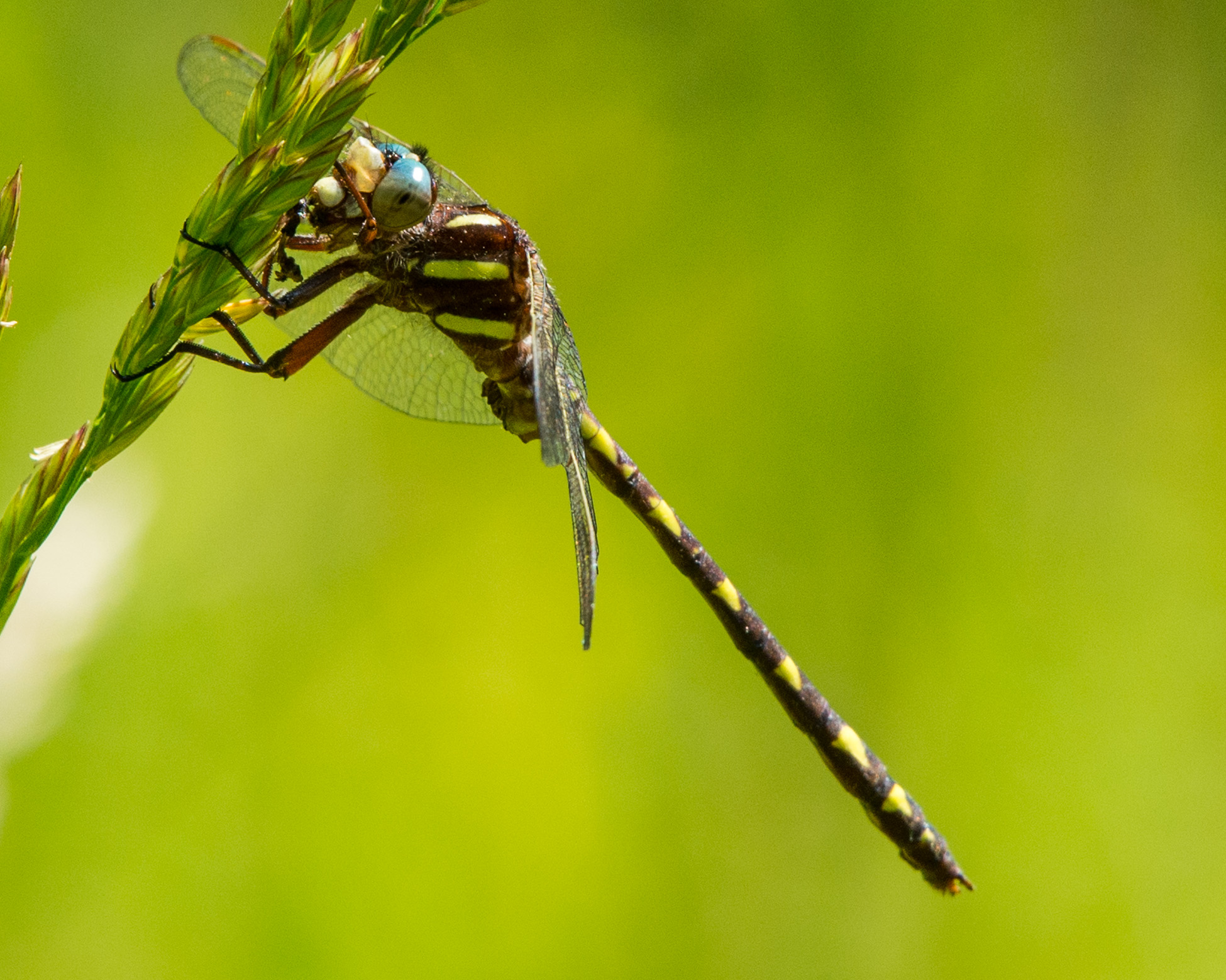
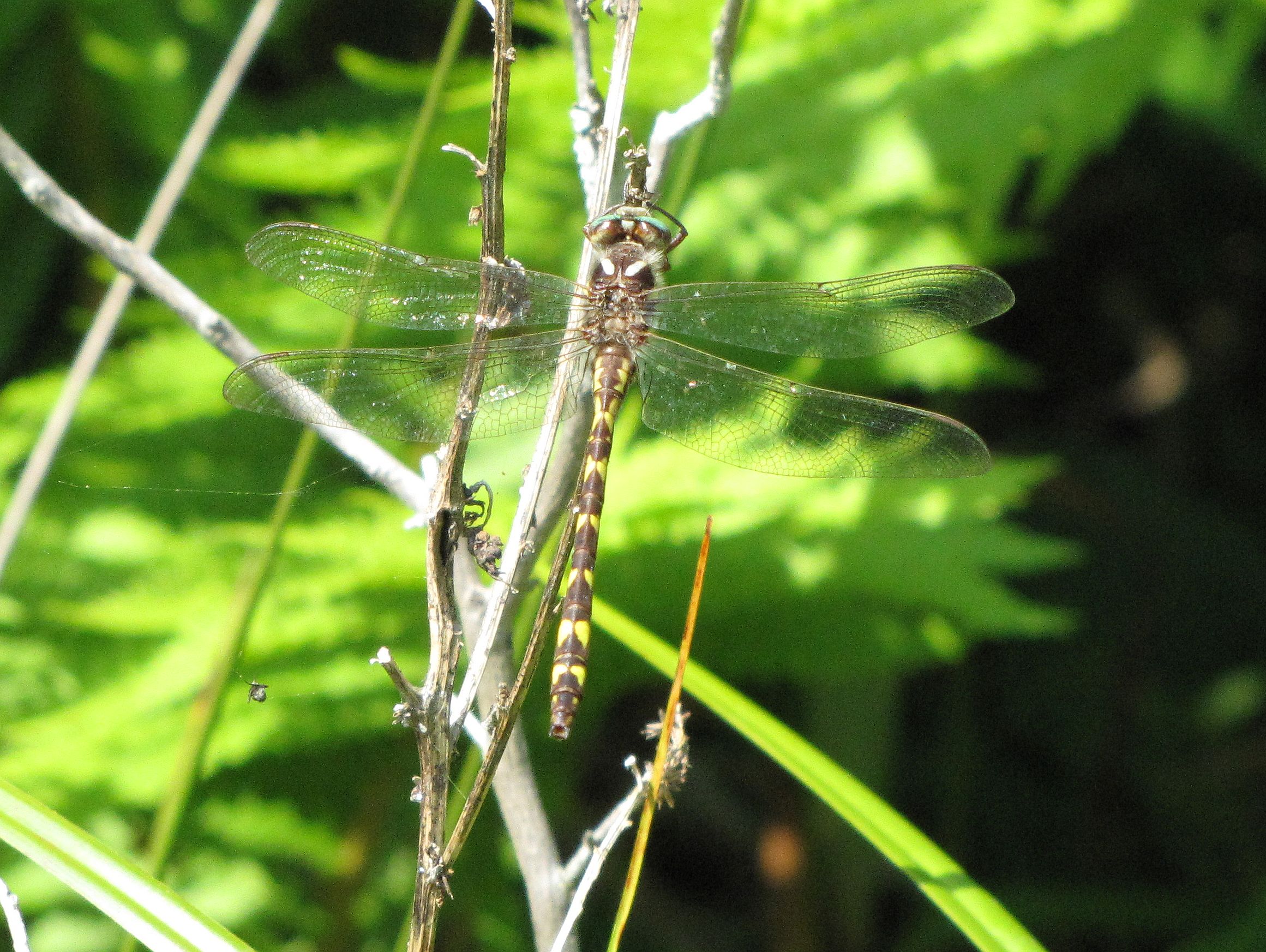
| Photo Gallery for Brown Spiketail 40 photos are available. Only the most recent 30 are shown. |
Other NC Galleries: Jeff Pippen Will Cook Ted Wilcox | ||
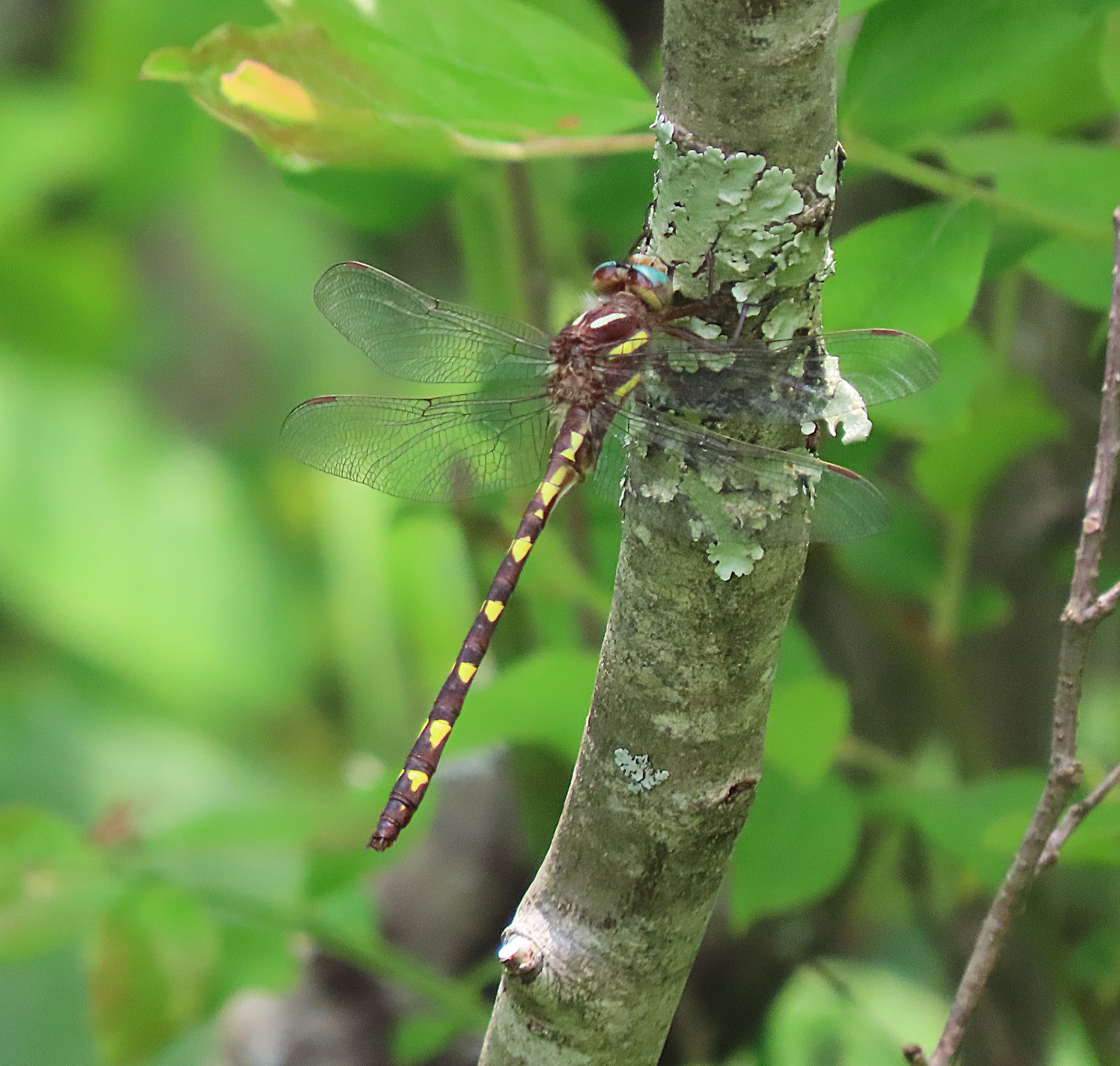 | Photo 1 by: Jeffrey Pippen, Ryan Chaffee, Lori Arent Comment: Alleghany, 2025-06-04, NC-18 near Sparta | 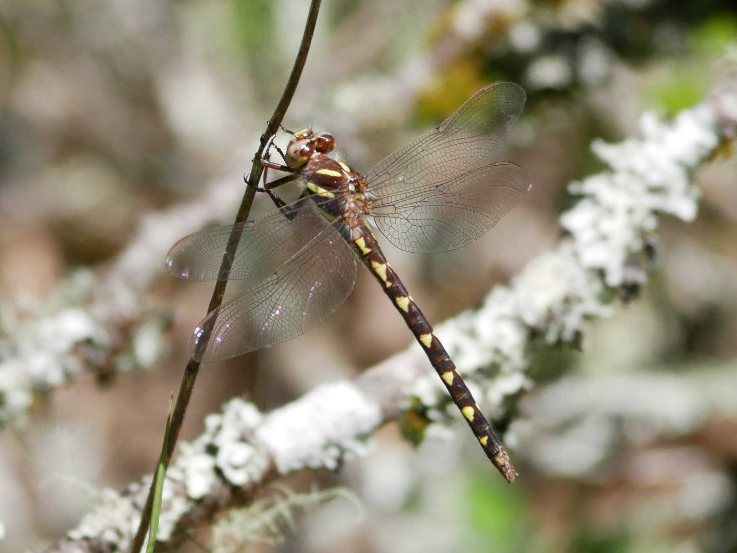 | Photo 2 by: Lori Arent, Al Hooks, Jeff Pippen, Audrey Whitlock Comment: Clay, 2025-05-17, Buck Creek Barrens |
 | Photo 3 by: G. McGrane Comment: Caldwell, 2024-06-11, Globe Mtn Road - FR 288 | 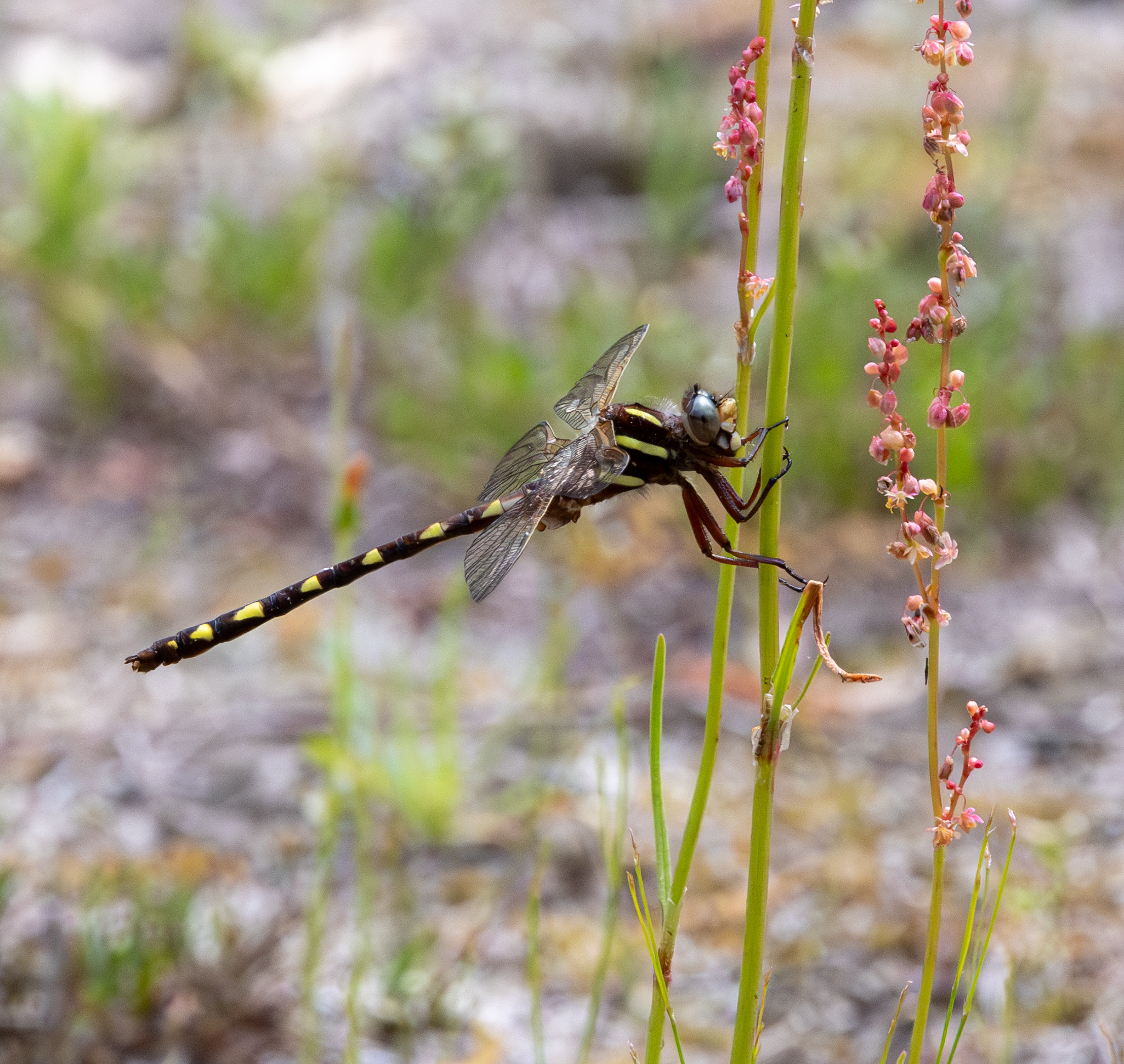 | Photo 4 by: Amy Padgett Comment: Bladen, 2024-04-10, Turnbull Creek Educational State Forest - Clearing at edge of forest |
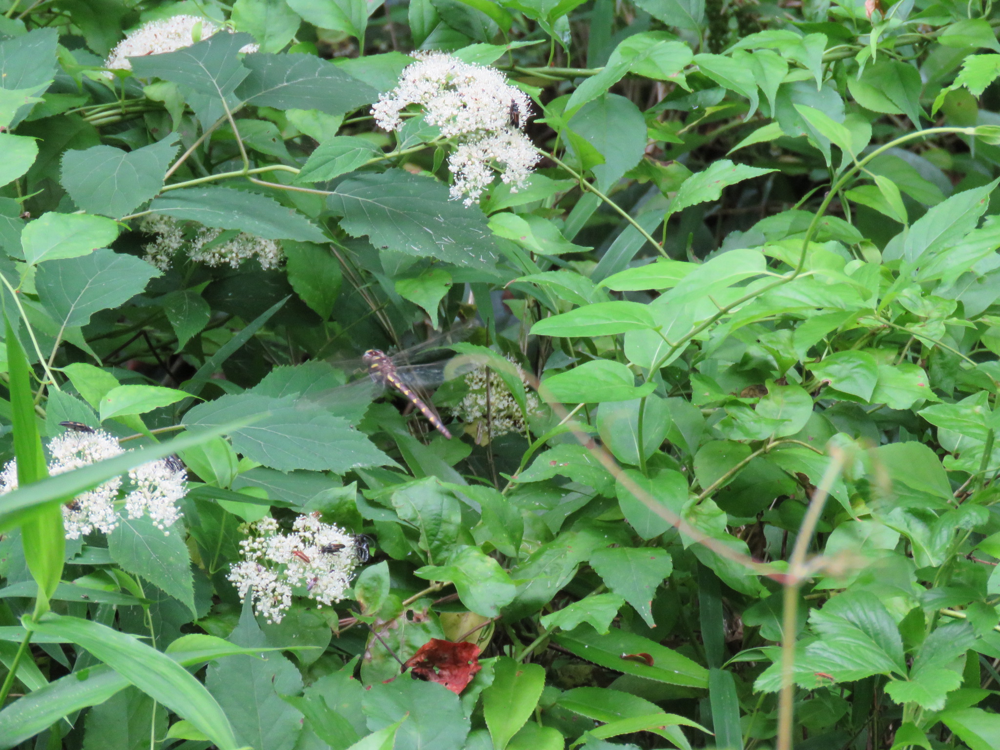
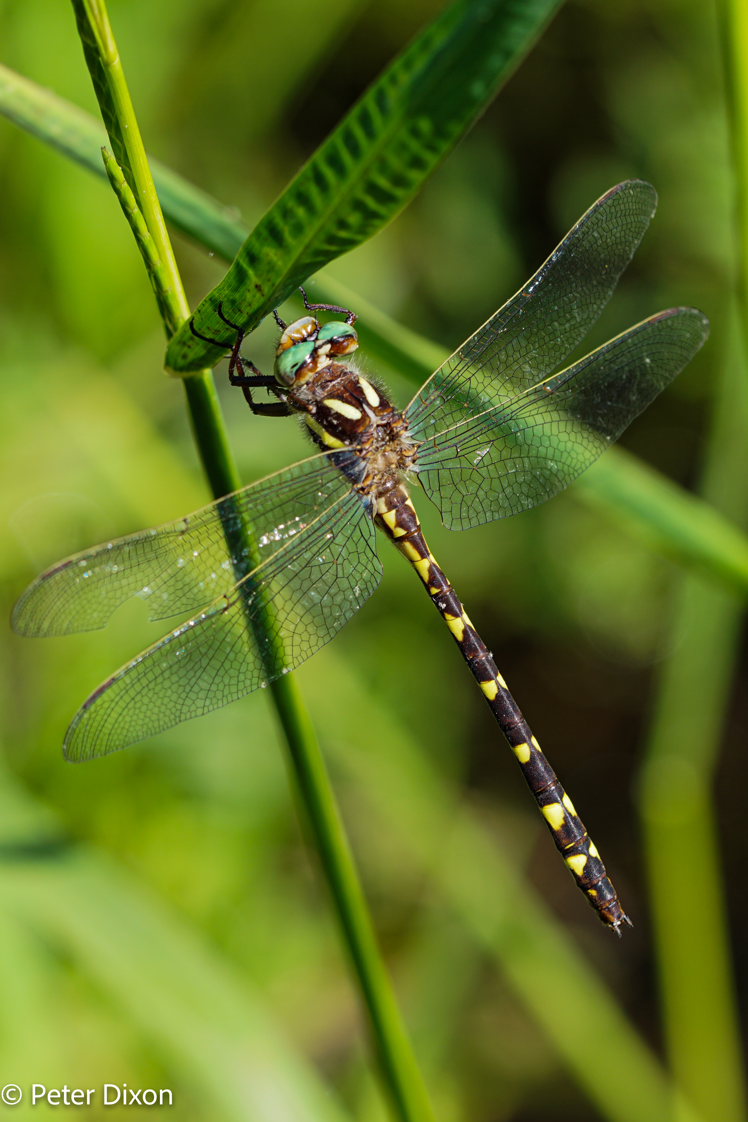
 | Photo 5 by: Amy Padgett Comment: Bladen, 2024-04-10, Turnbull Creek Educational State Forest - Clearing at edge of forest | 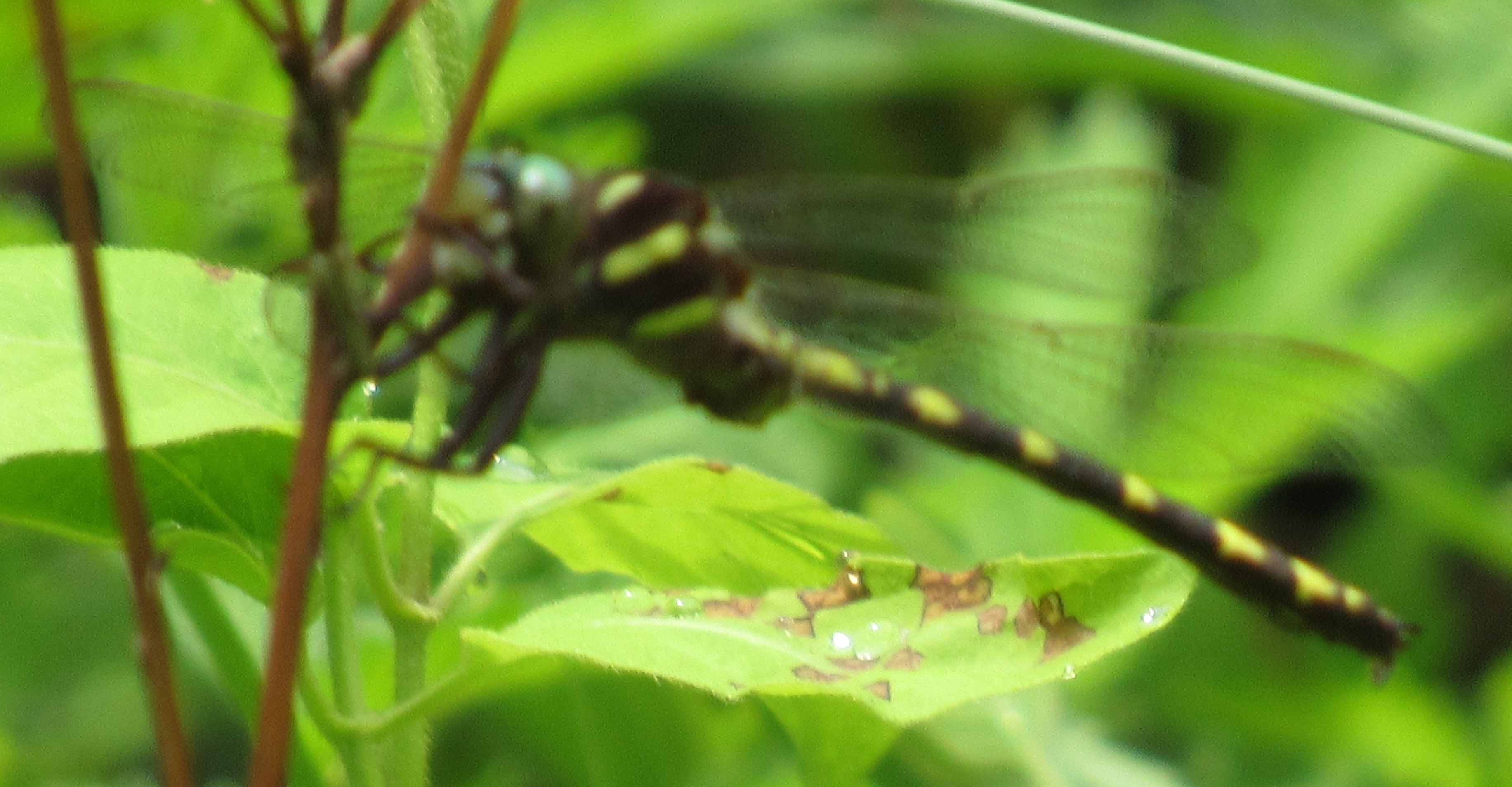 | Photo 6 by: B. Bockhahn Comment: Buncombe, 2022-05-16, Pisgah State Park |
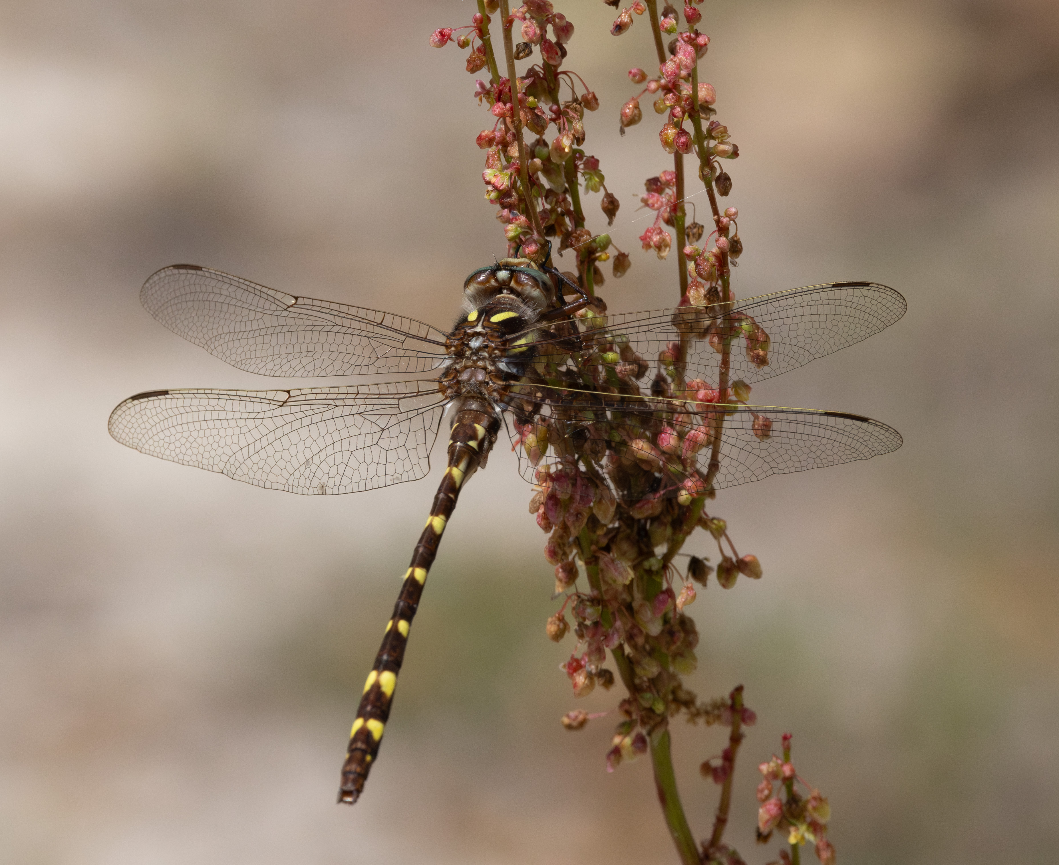
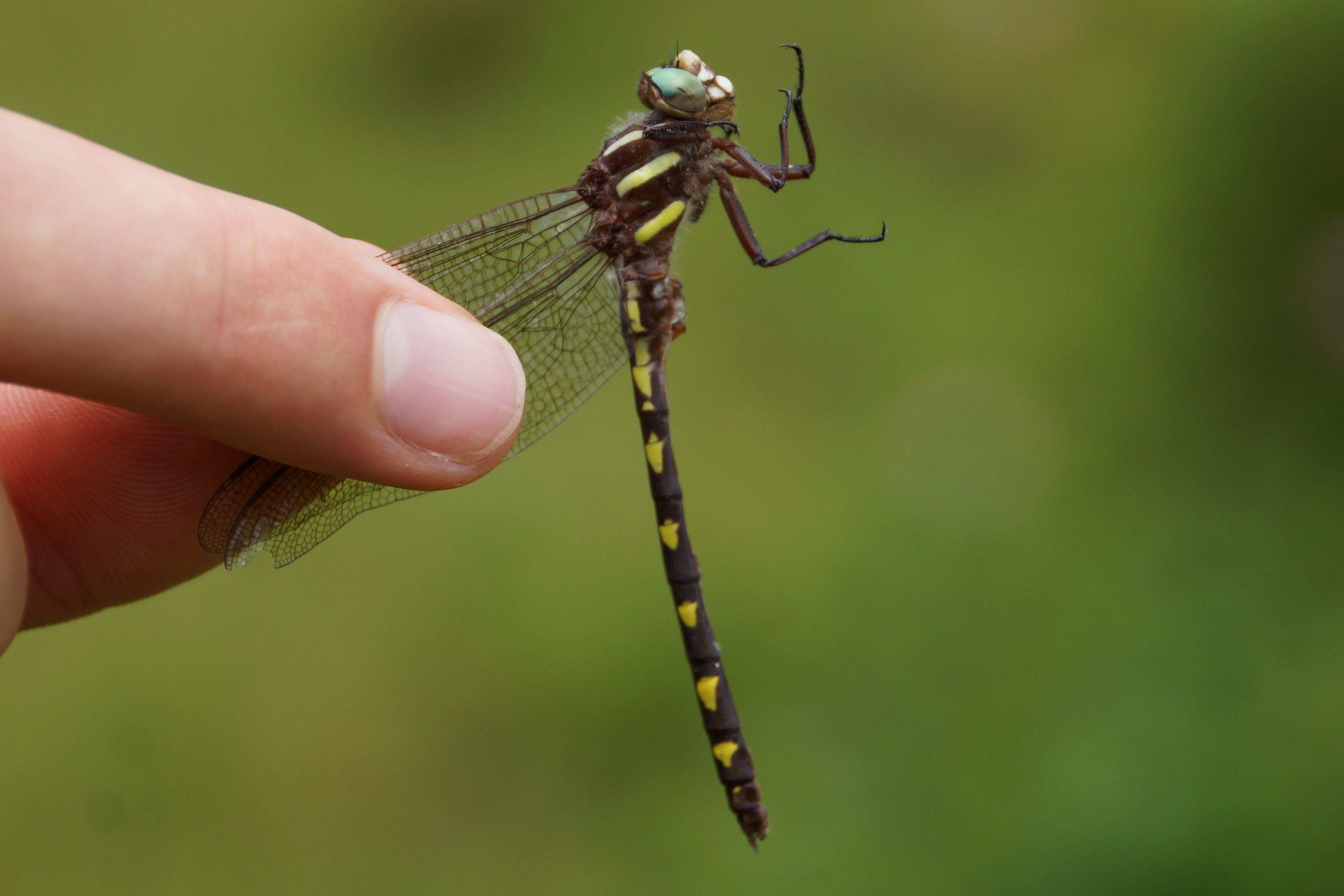
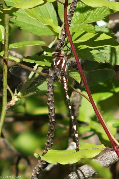
 | Photo 7 by: P Dixon Comment: Madison, 2022-05-12, Davis Branch | 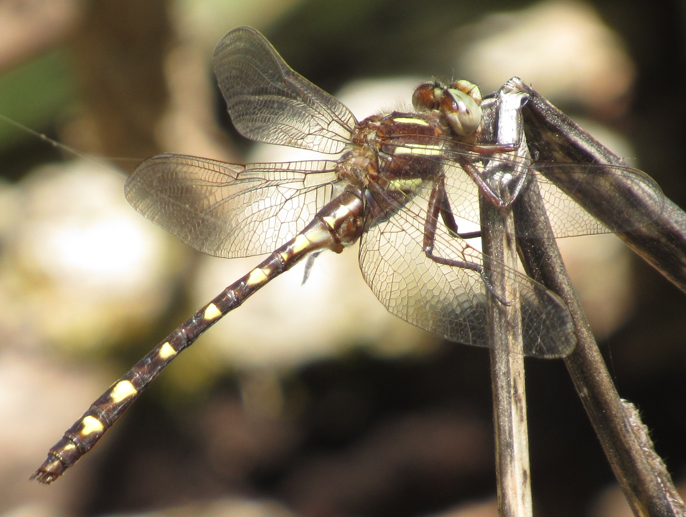 | Photo 8 by: B. Bockhahn Comment: Wilkes; M, 2022-05-02, Rendezvous Mountain State Park - Above Amadahy Falls |
 | Photo 9 by: Max Ramey, Aaron Reb Comment: Watauga, 2021-07-17, Cow Pasture Fen- Blue Ridge Parkway | 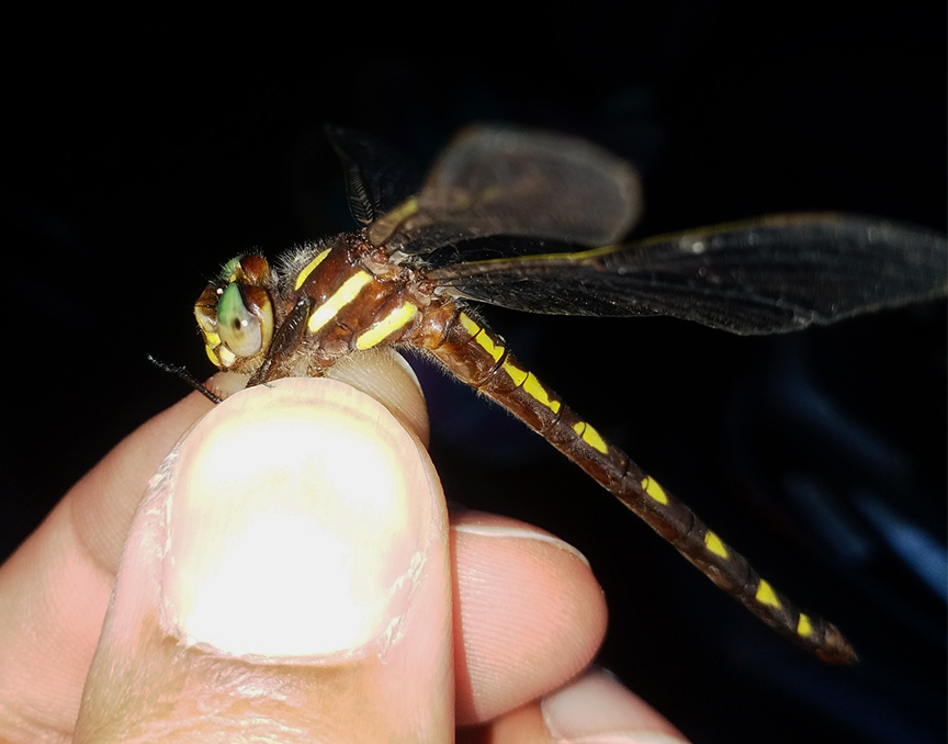 | Photo 10 by: Cesar Castillo Comment: Swain, 2021-06-17, Cherokee. Near Oconaluftee River Trail. Lat: 35.500177 Lon: -83.303785 iNaturalist record #85398796 |
 | Photo 11 by: Will Stuart Comment: Rutherford; M, 2021-05-06, One along CC Road, the second well above the gates. - About 2 miles apart. | 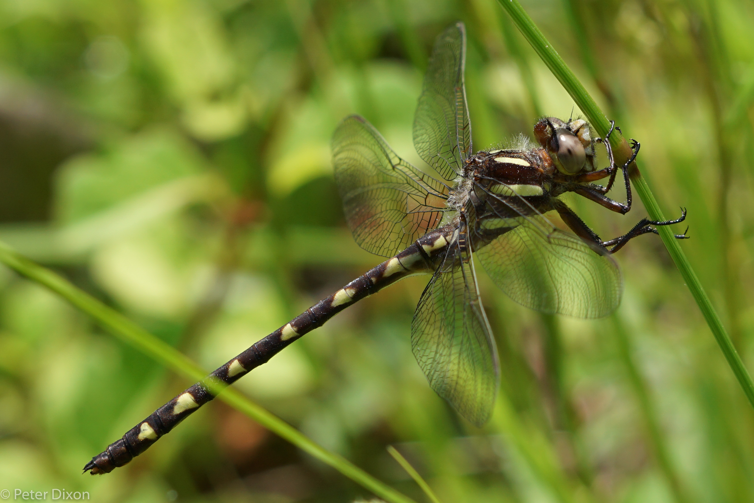 | Photo 12 by: p dixon Comment: Madison, 2020-05-02, Hot Springs area, River Rd |
 | Photo 13 by: p dixon Comment: Madison, 2020-05-01, Davis Branch Meadows, Hot Springs area | 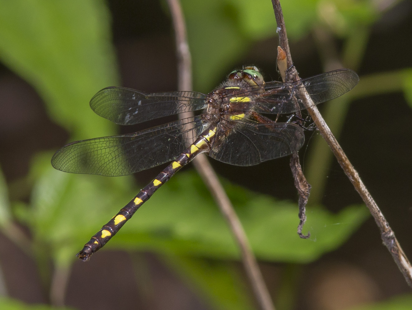 | Photo 14 by: John Petranka, Sally Gewalt Comment: Yancey, 2019-05-23, Black Mountain Campground. - Males. At seep. |
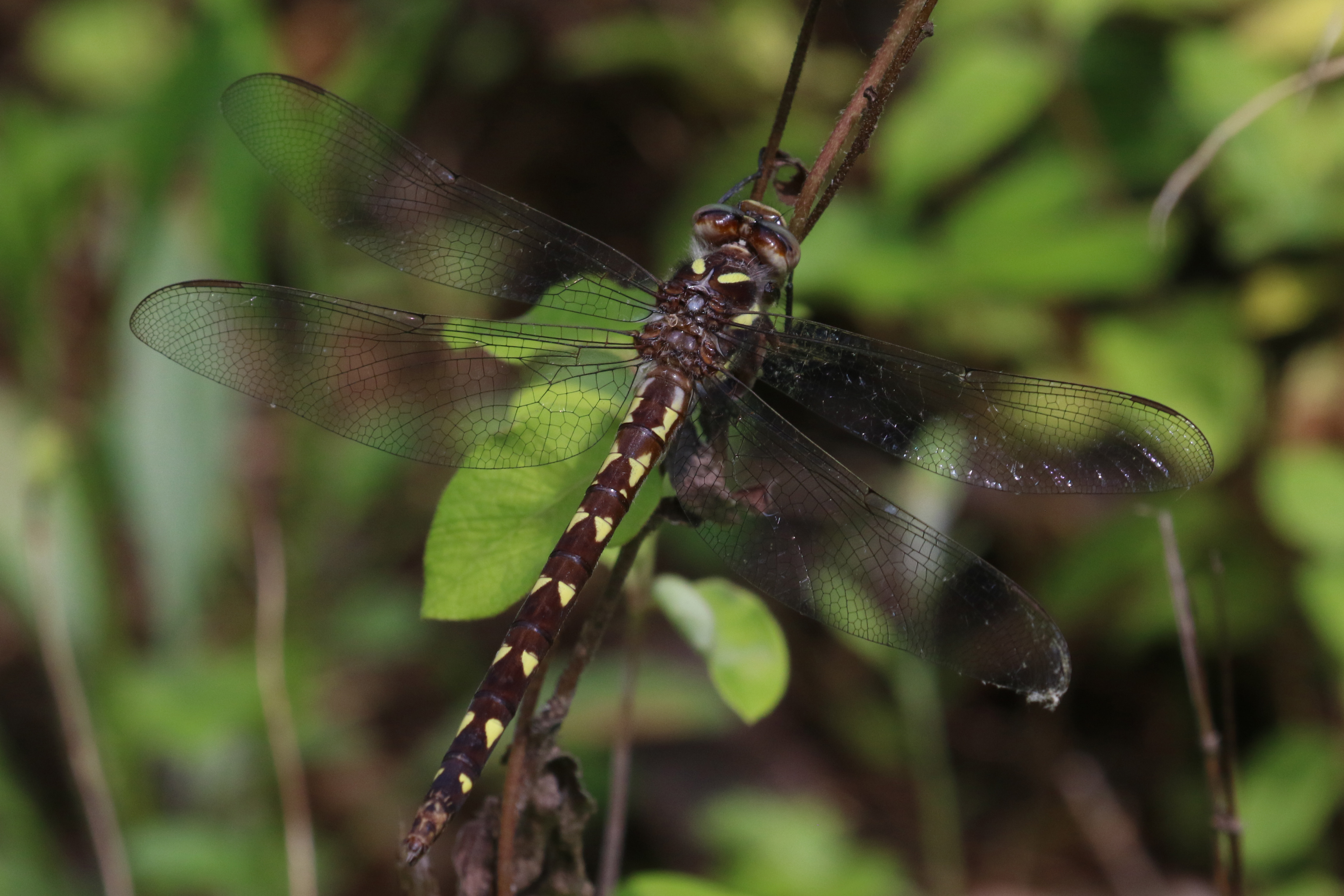
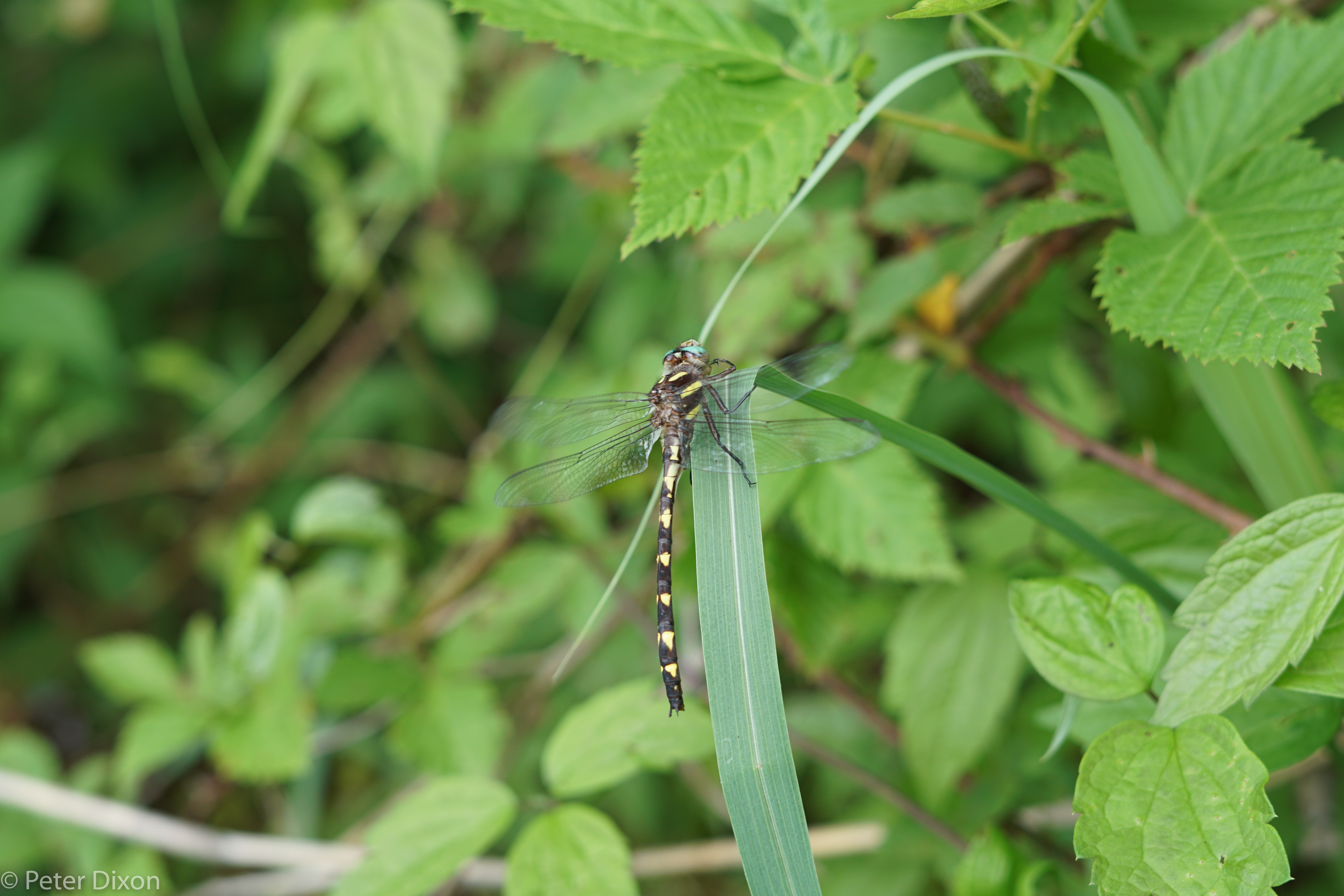 | Photo 15 by: Pete Dixon Comment: Madison, 2019-05-13, River Road, Murray Branch Meadows | 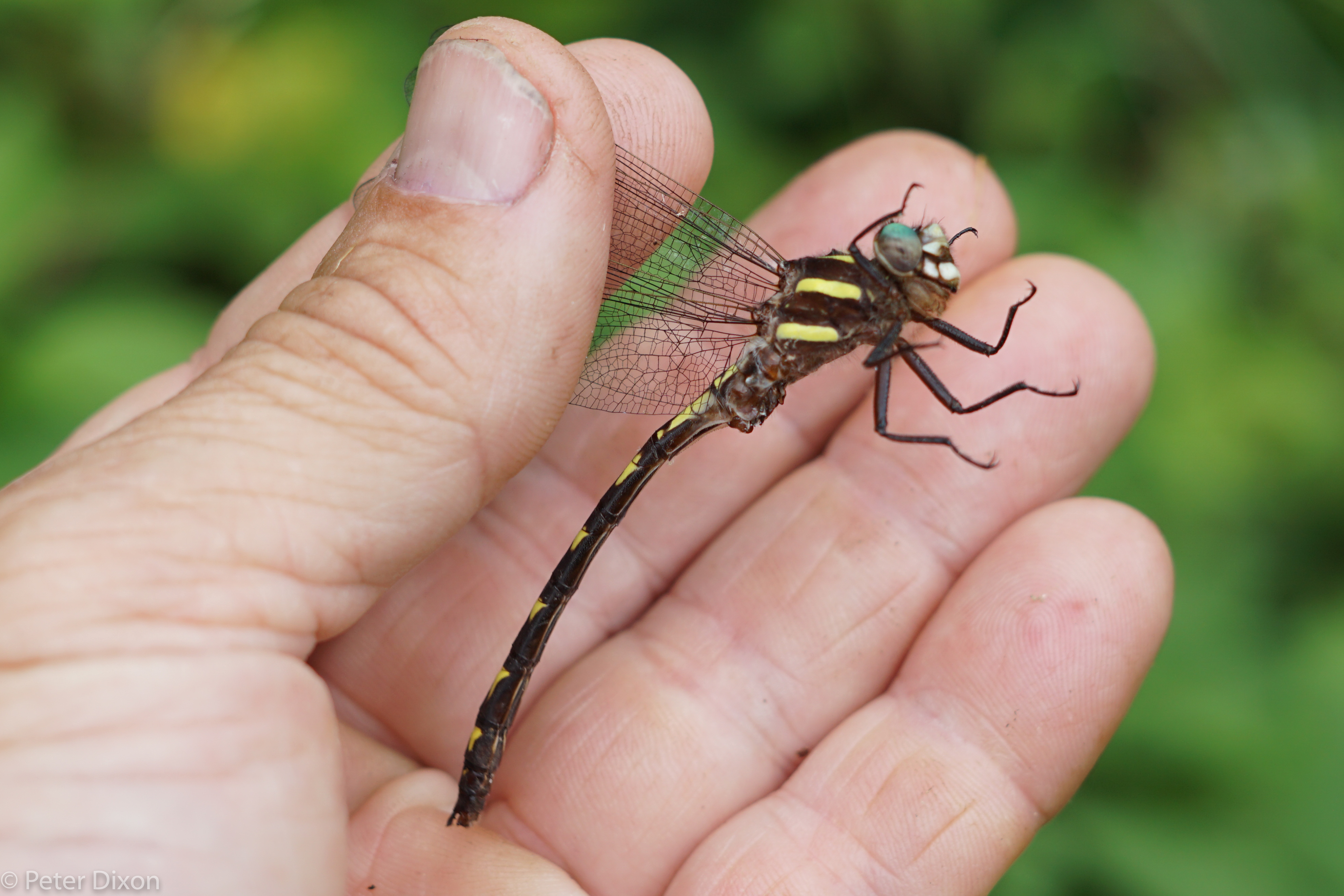 | Photo 16 by: Pete Dixon Comment: Madison, 2019-05-13, River Road, Murray Branch Meadows |
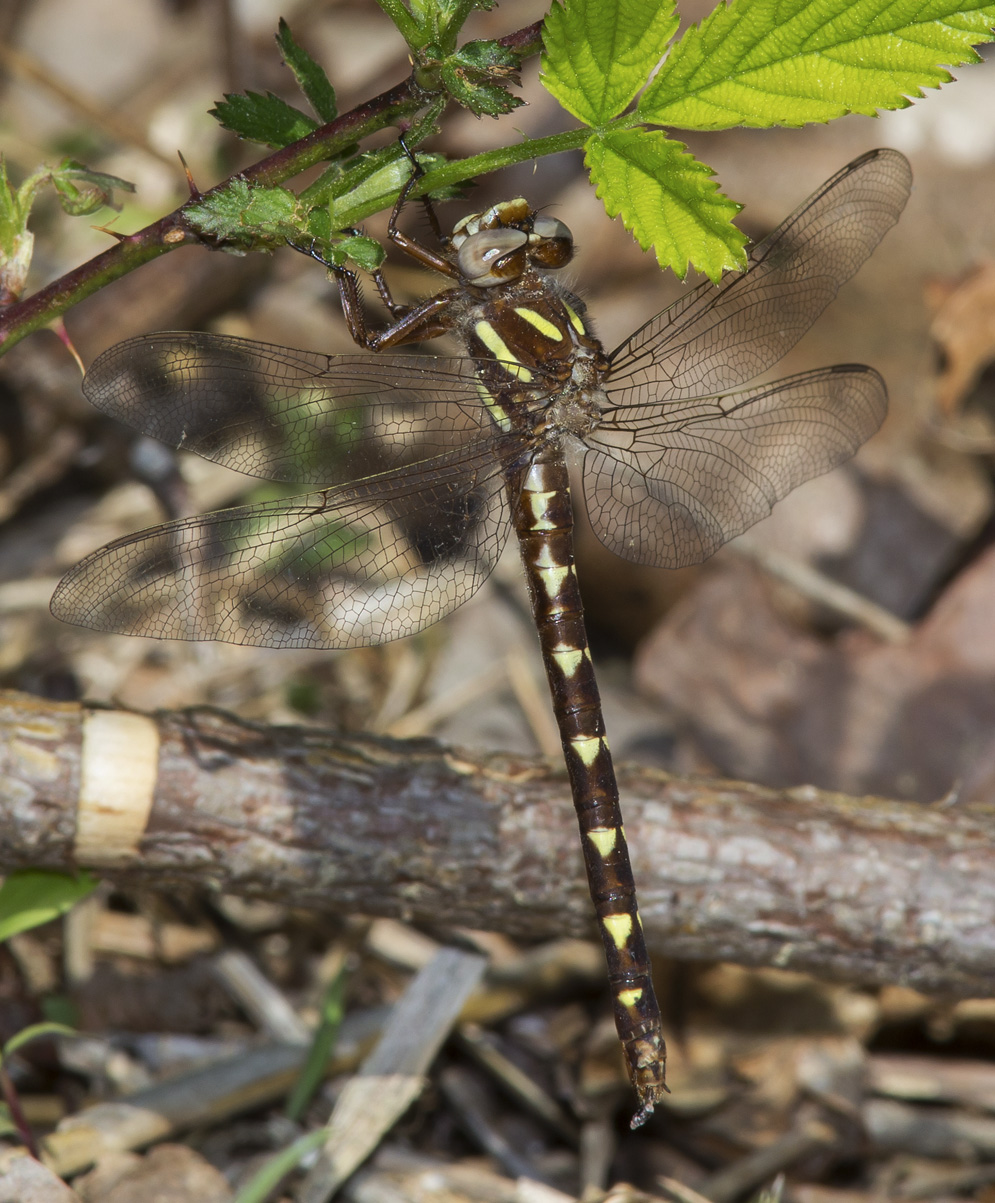 | Photo 17 by: John Petranka, Mark Shields Comment: Durham, 2019-04-18, Eno River State Park (ENRI) - Cole Mill Section. Along powerline corridor SW of Old Cole Mill Rd. - Female. | 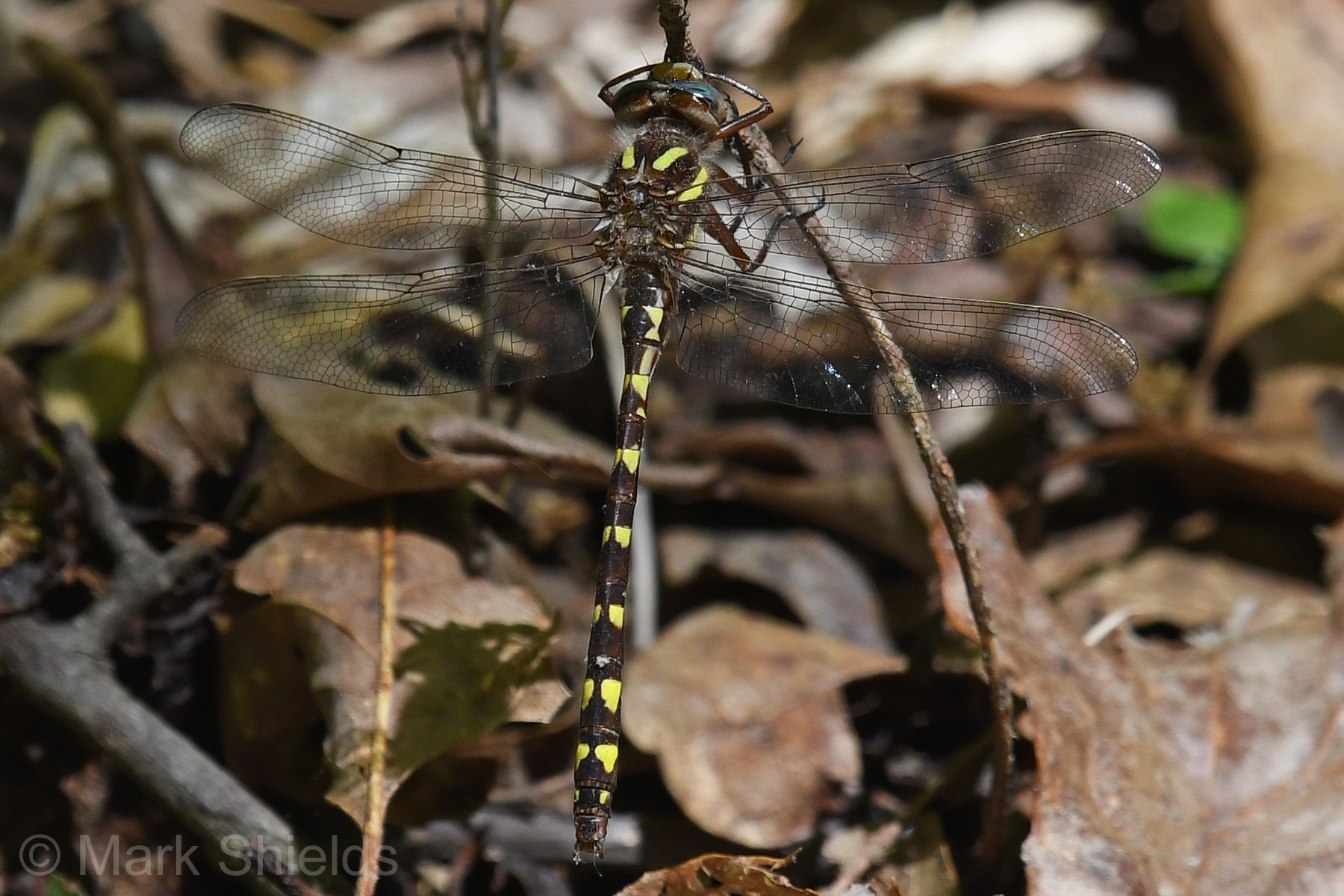 | Photo 18 by: Mark Shields, Hunter Phillips Comment: Wayne, 2019-04-15, Cliffs of the Neuse State Park (CLNE) - First record for county. |
 | Photo 19 by: John Petranka, Sally Gewalt Comment: Guilford, 2019-04-11, Haw River State Park (HARI). Iron Ore Belt Access; seep and wetland along Great Blue Heron Trail. - Males. | 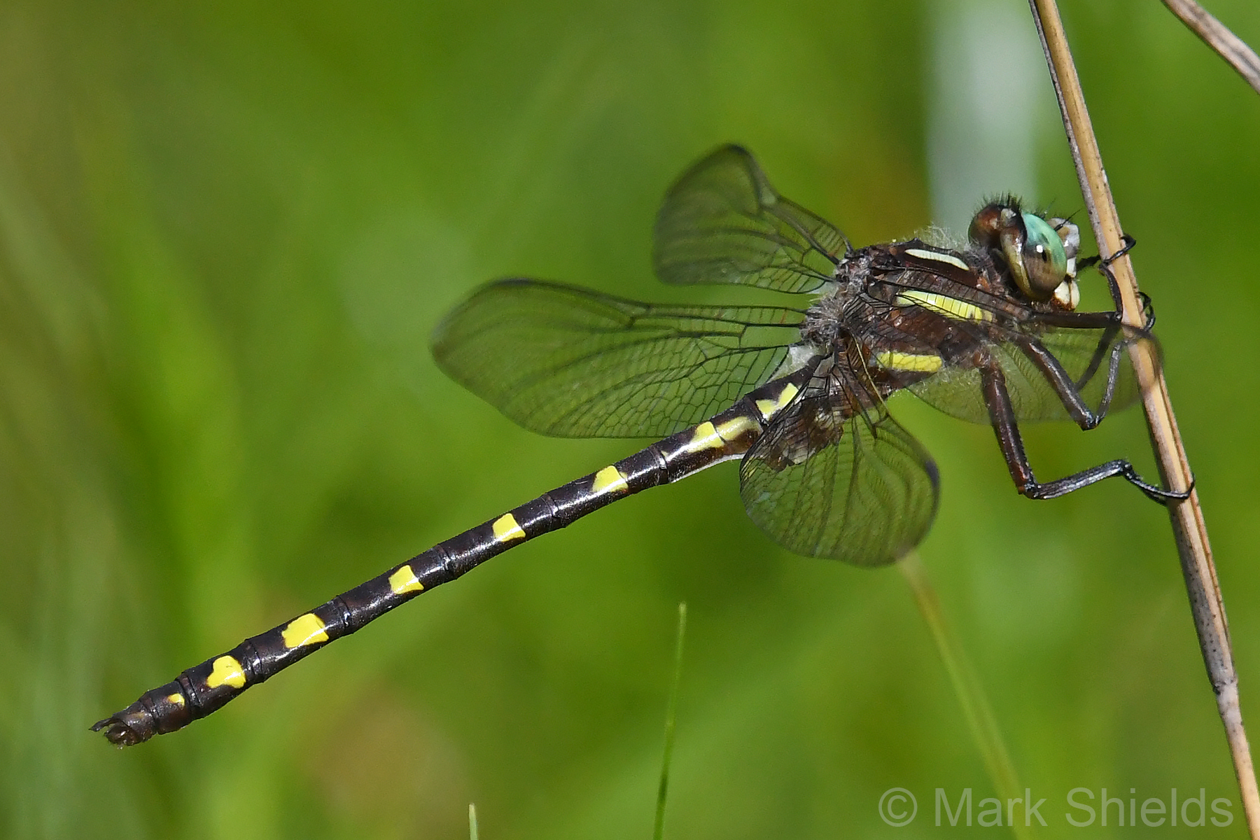 | Photo 20 by: Mark Shields, John Petranka, Sally Gewalt Comment: Jackson, 2018-06-26, Panthertown Valley, Nantahala National Forest - in bog |
 | Photo 21 by: John Petranka, Sally Gewalt. Comment: Orange, 2018-05-07, Brumley Forest Preserve, South side of Hwy. NC 10. - Males. Seep below spring house. |  | Photo 22 by: John Petranka Comment: Orange, 2017-04-22, Patrolling seep at Brumley Forest Nature Preserve. - Males. |
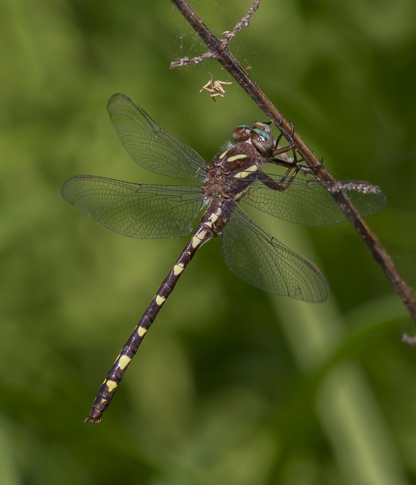
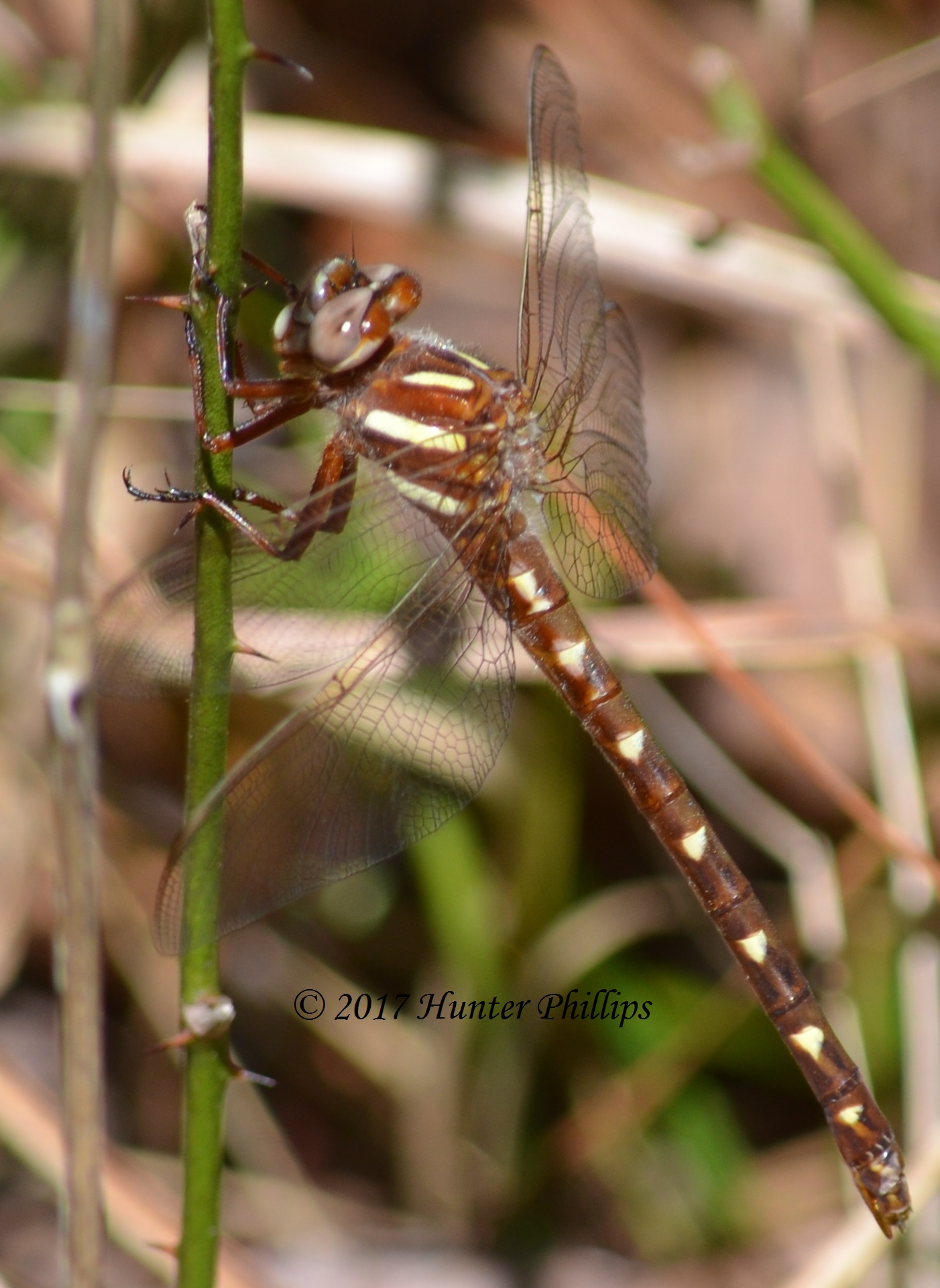 | Photo 23 by: Hunter Phillips Comment: Jones, 2017-04-09, Haywood Landing Recreation Site | 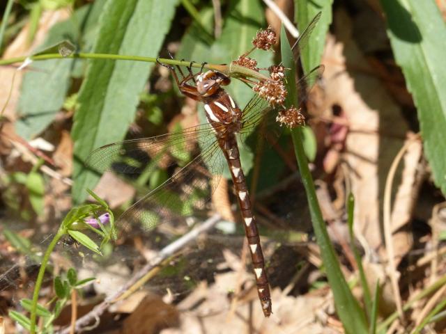 | Photo 24 by: S. Williams, F. Williams Comment: Gates, 2017-04-09, MEMI |
 | Photo 25 by: Timothy Deering Comment: Buncombe, 2016-05-27, Dark Hollow Creek | 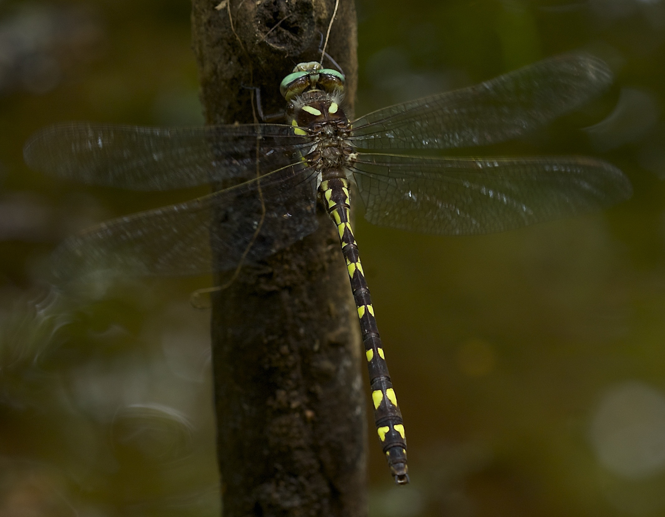 | Photo 26 by: Jim Petranka Comment: Buncombe, 2015-05-29, Along shaded, first-order stream at Sandy Bottom |
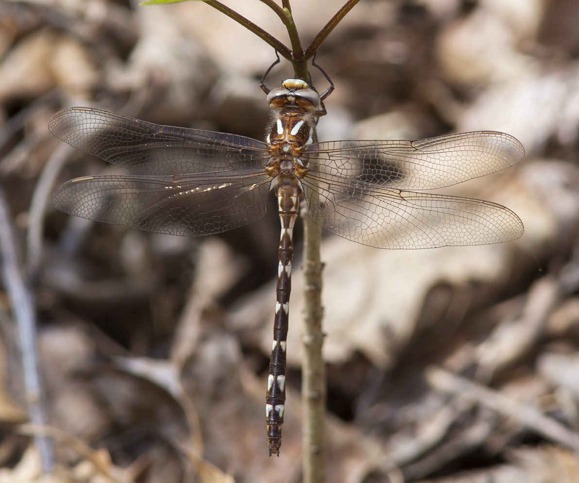
 | Photo 27 by: John Petranka Comment: Durham, 2015-05-15, Eno River State Park (ENRI). Along Pump Station Trail. - Male. |  | Photo 28 by: Vin Stanton, Gail Lankford, Janie Owen Comment: Madison, 2014-05-21, River Road, French Broad River north of Hot Springs - Male |
 | Photo 29 by: Cary and David Paynter Comment: Watauga, 2012-06-19, high elevation bog | 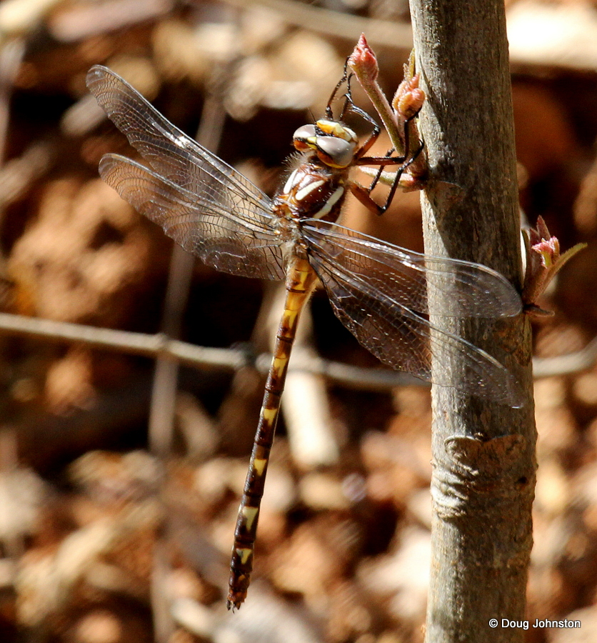 | Photo 30 by: Doug Johnston Comment: Buncombe, 2012-05-16, north Buncombe County, Leicester patch |