| North Carolina's 189 Odonate species | ||||
|---|---|---|---|---|

 »
»| Sort Species by: Family Scientific Name [ Undocumented ] |
| Related Species in GOMPHIDAE: | Number of records for 2026 = 0 | |
| Photo Gallery for Black-shouldered Spinyleg 59 photos are available. Only the most recent 30 are shown. |
Other NC Galleries: Jeff Pippen Will Cook Ted Wilcox | ||
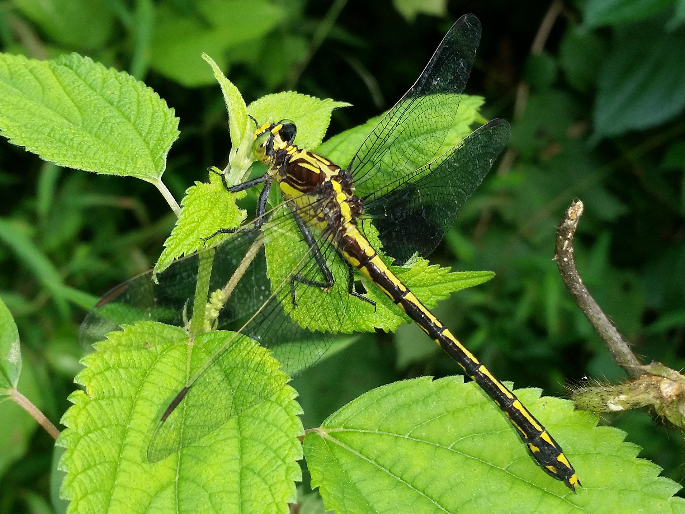
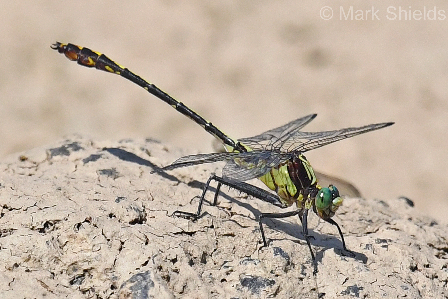
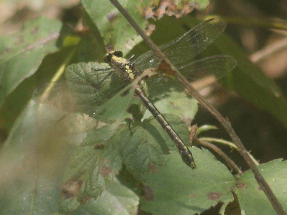
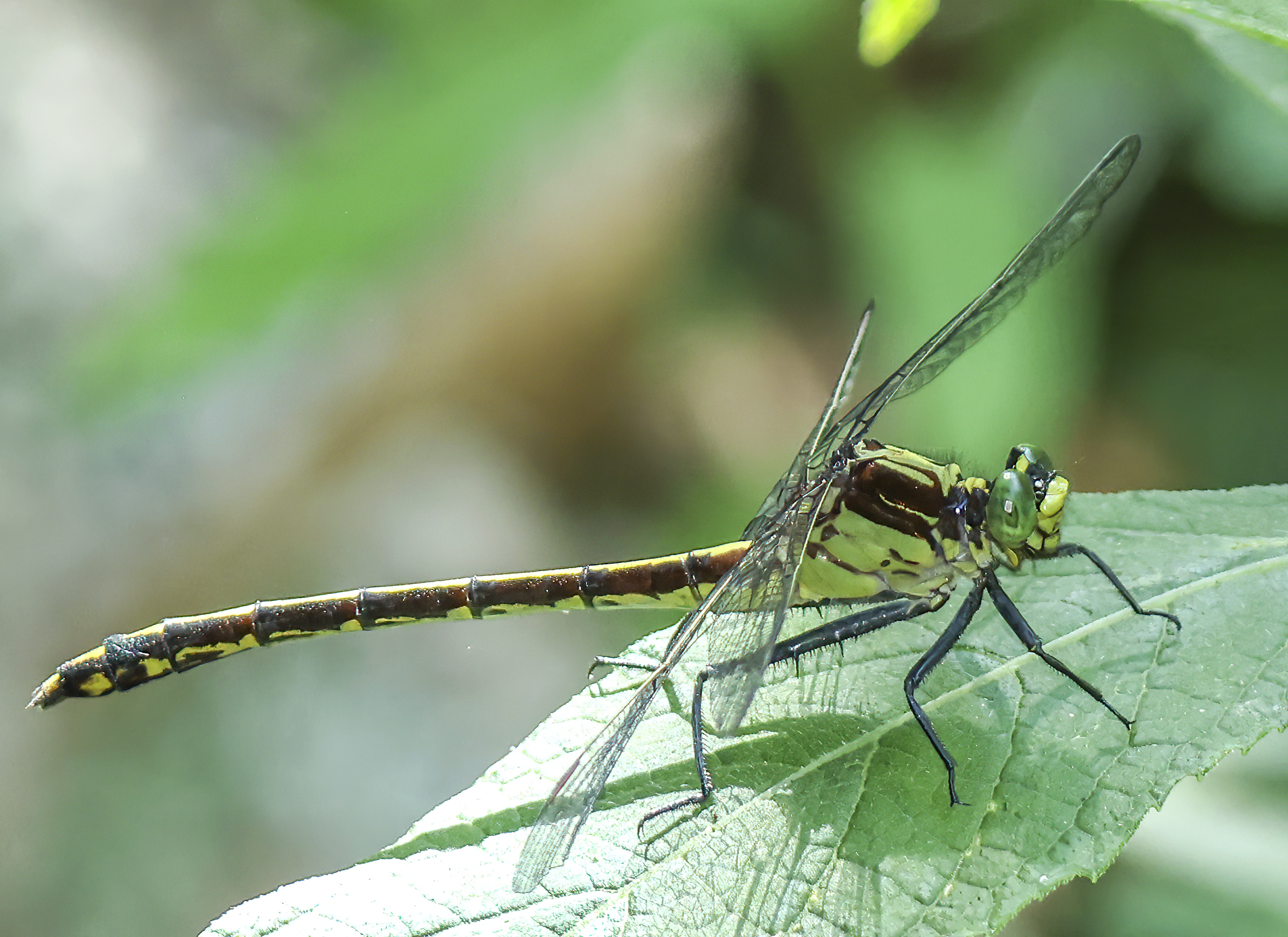 | Photo 1 by: Mark Shields, John Petranka Comment: Chatham, 2024-06-13, White Pines Preserve | 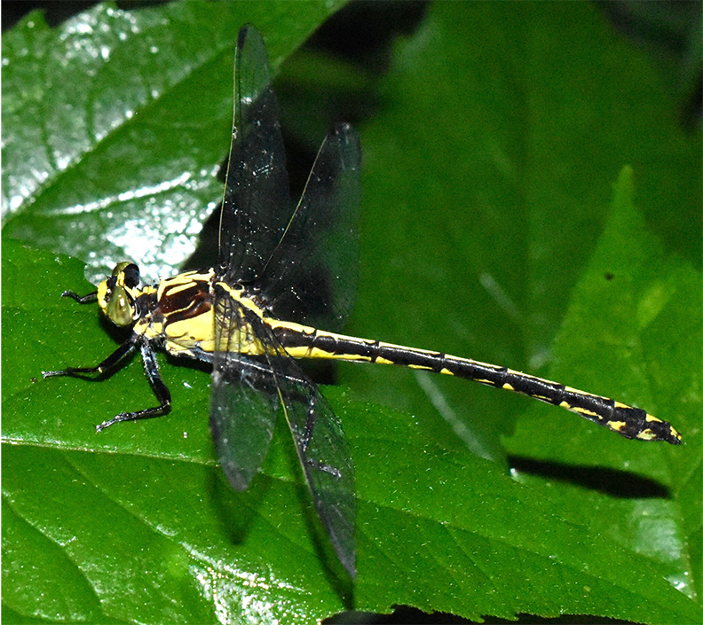 | Photo 2 by: Jeff Niznik Comment: Chatham, 2024-05-26, White Pines Nature Preserve, iNaturalist #220193264 - Male |
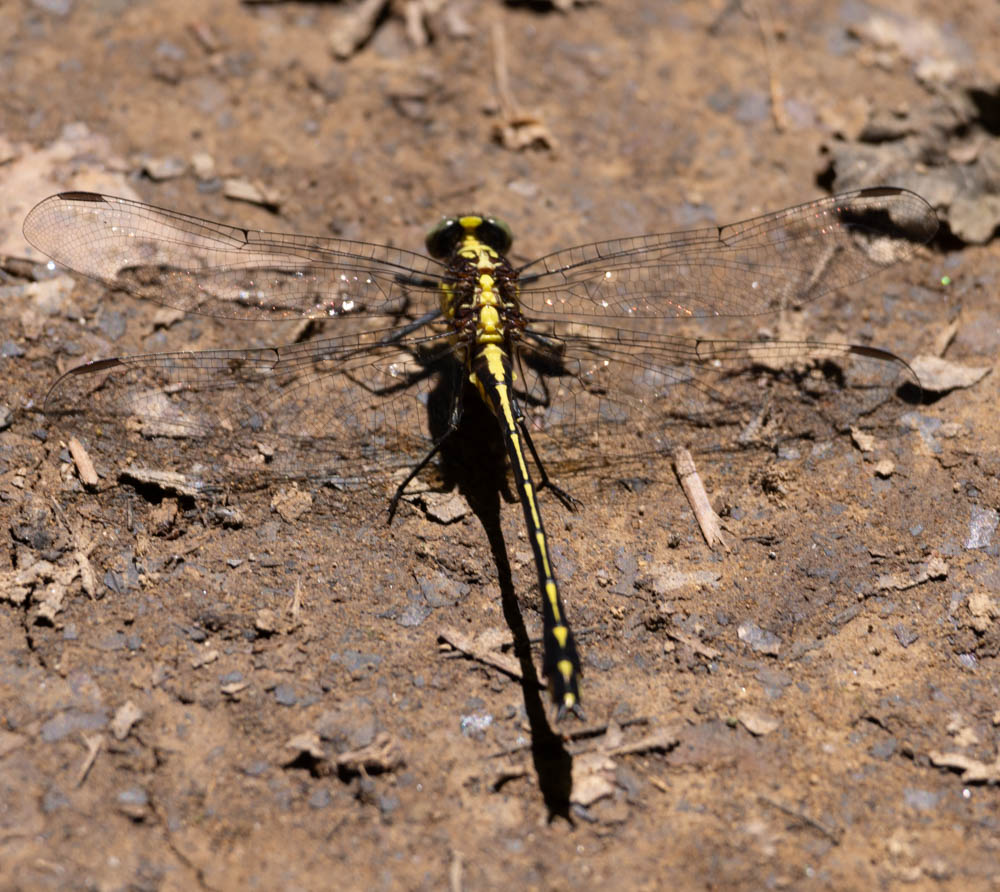 | Photo 3 by: Steve Hall Comment: Chatham, 2024-05-21, | 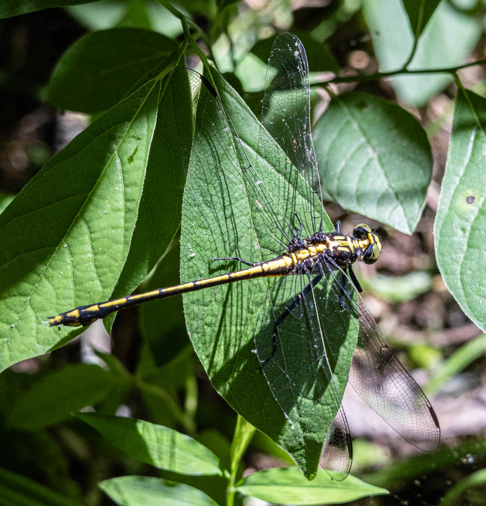 | Photo 4 by: Steve Hall Comment: Chatham, 2024-05-12, |
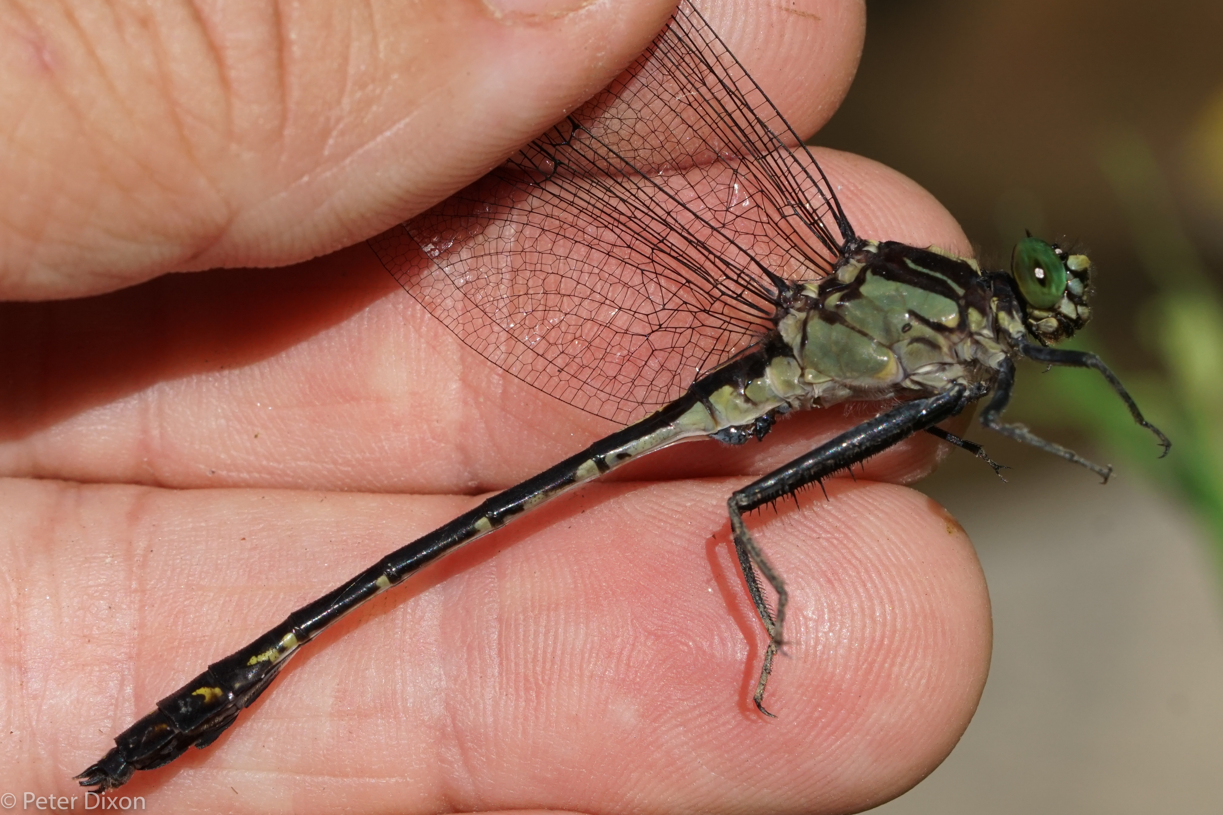
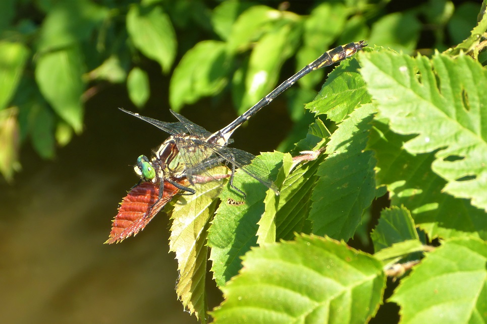
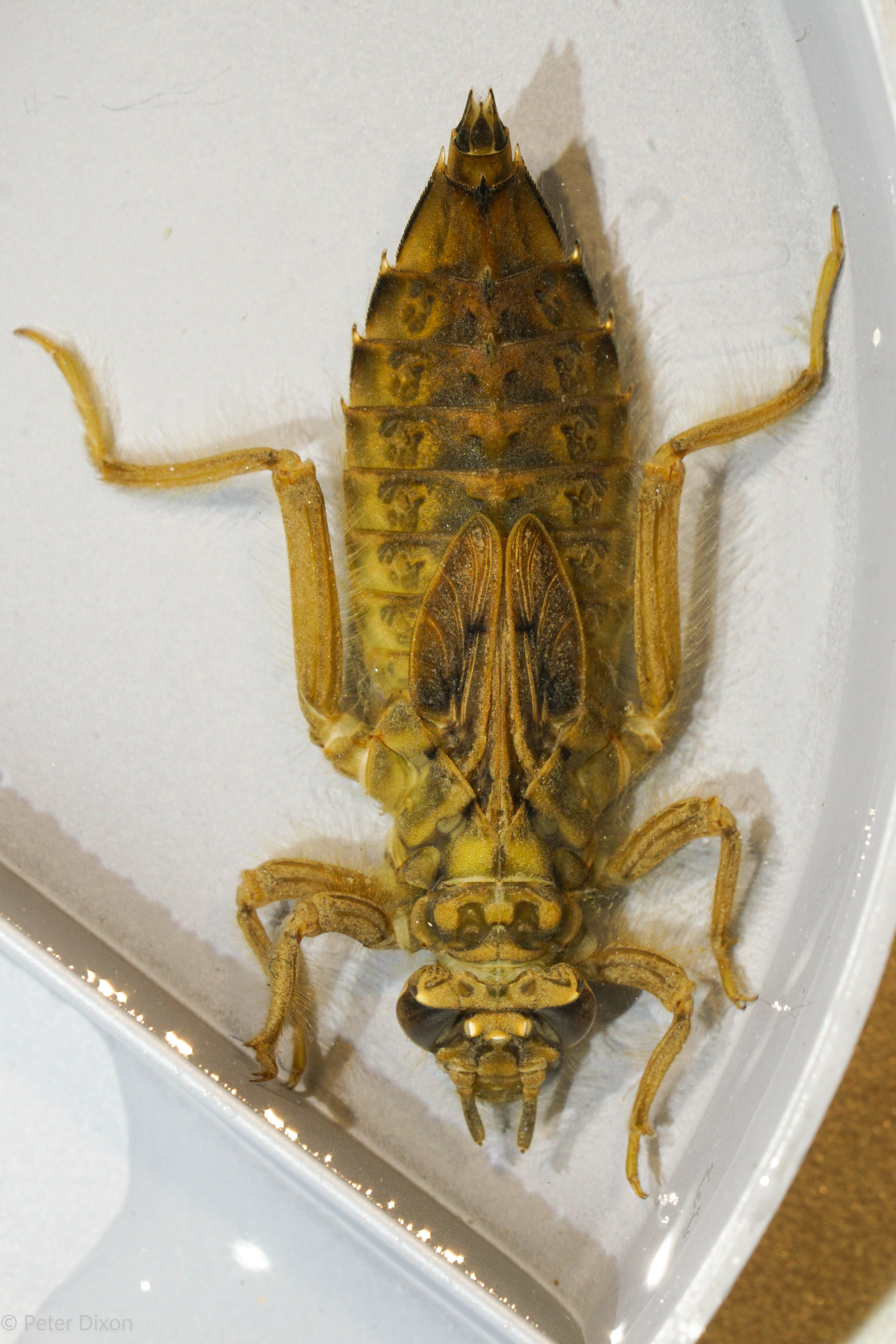 | Photo 5 by: P Dixon Comment: Madison, 2023-12-18, Hot Springs area, French Broad | 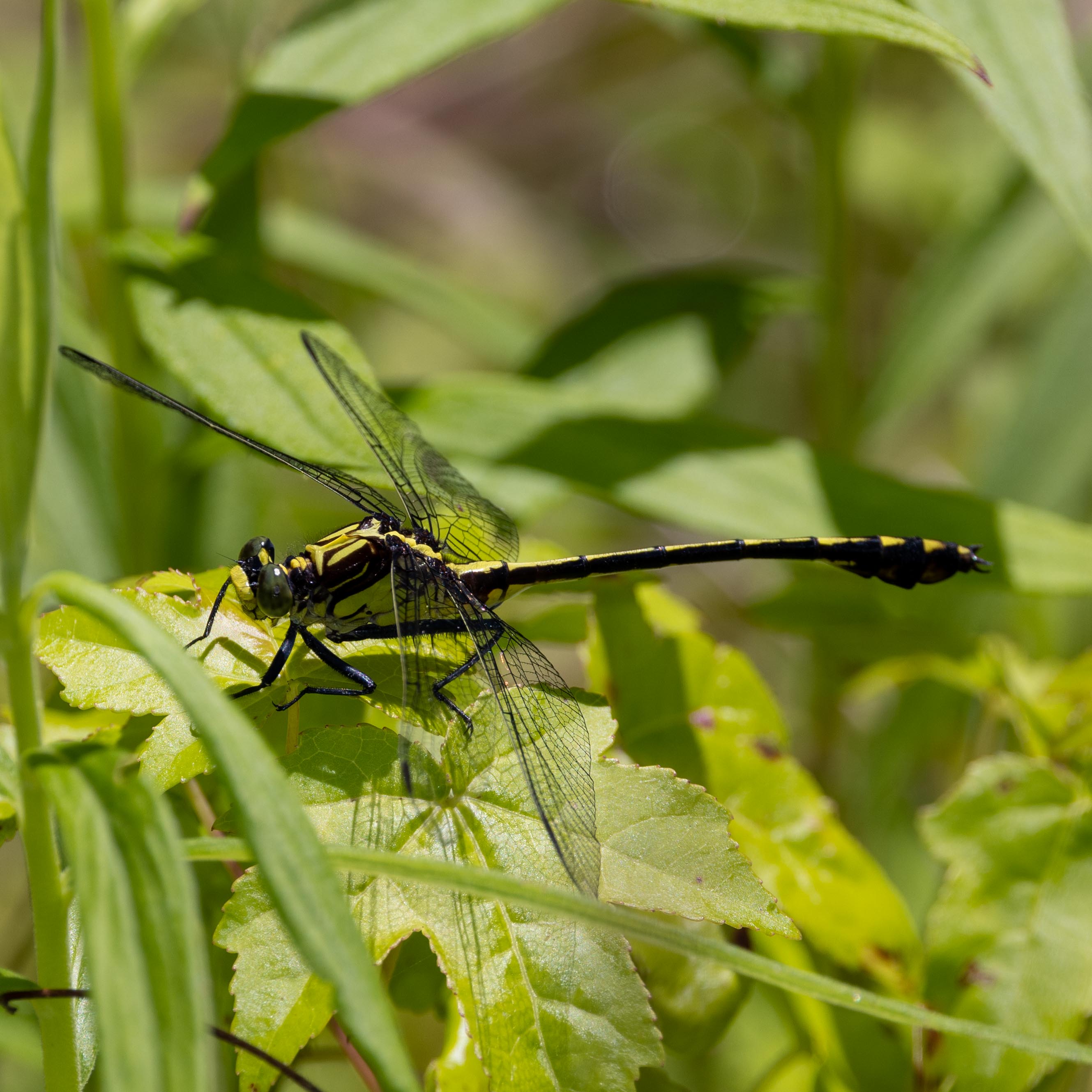 | Photo 6 by: Robert Gilson and Chris Talkington Comment: Rutherford; M, 2023-06-12, South Mountain Gameland - Old CC Road |
 | Photo 7 by: Owen McConnell Comment: Graham, 2022-07-23, FS 81 at Santeetlah Creek bridge - Just caught a moth | 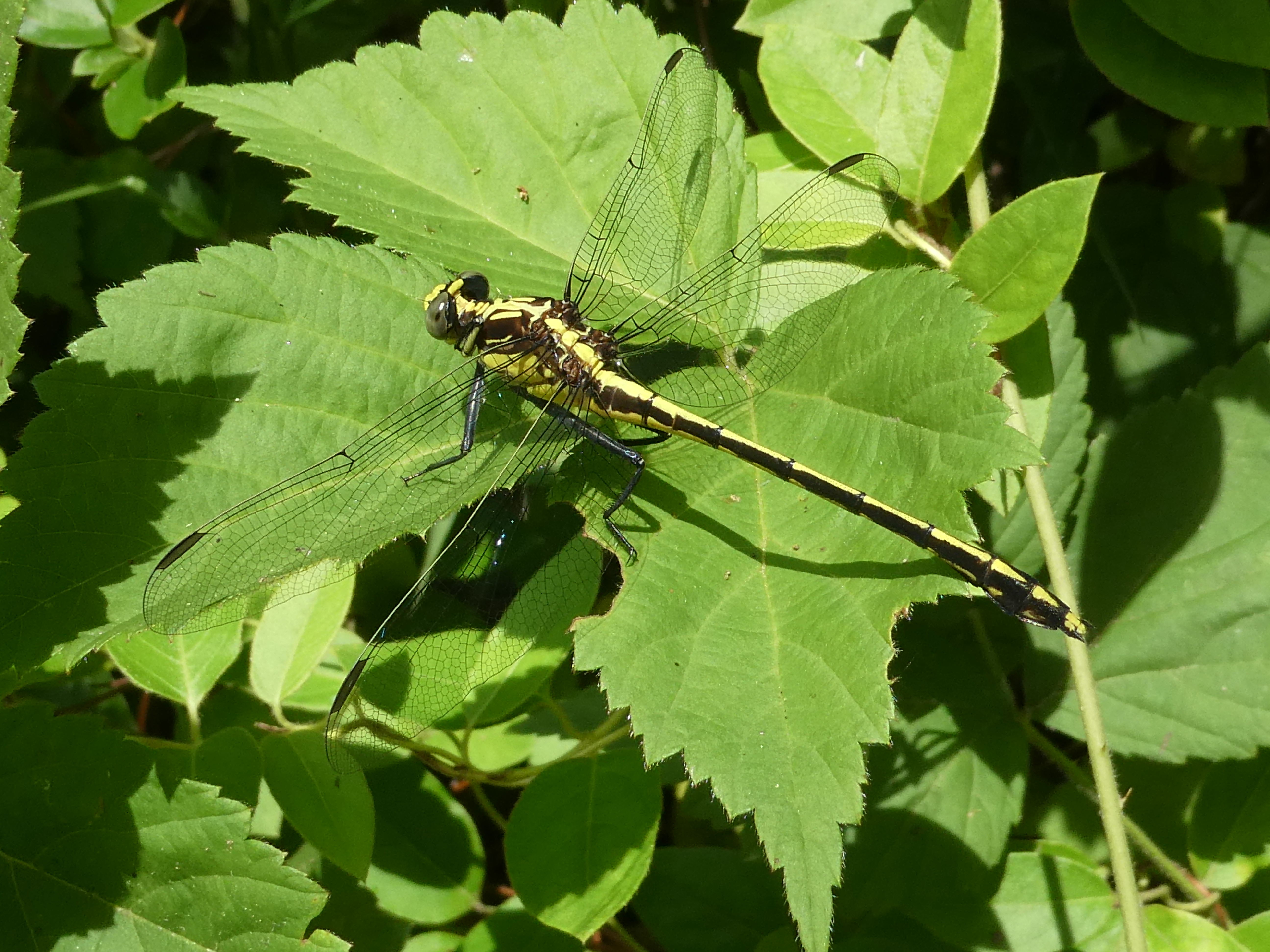 | Photo 8 by: Paul Hart Comment: Harnett; C, 2022-06-10, Cape Fear Shiner County Park |
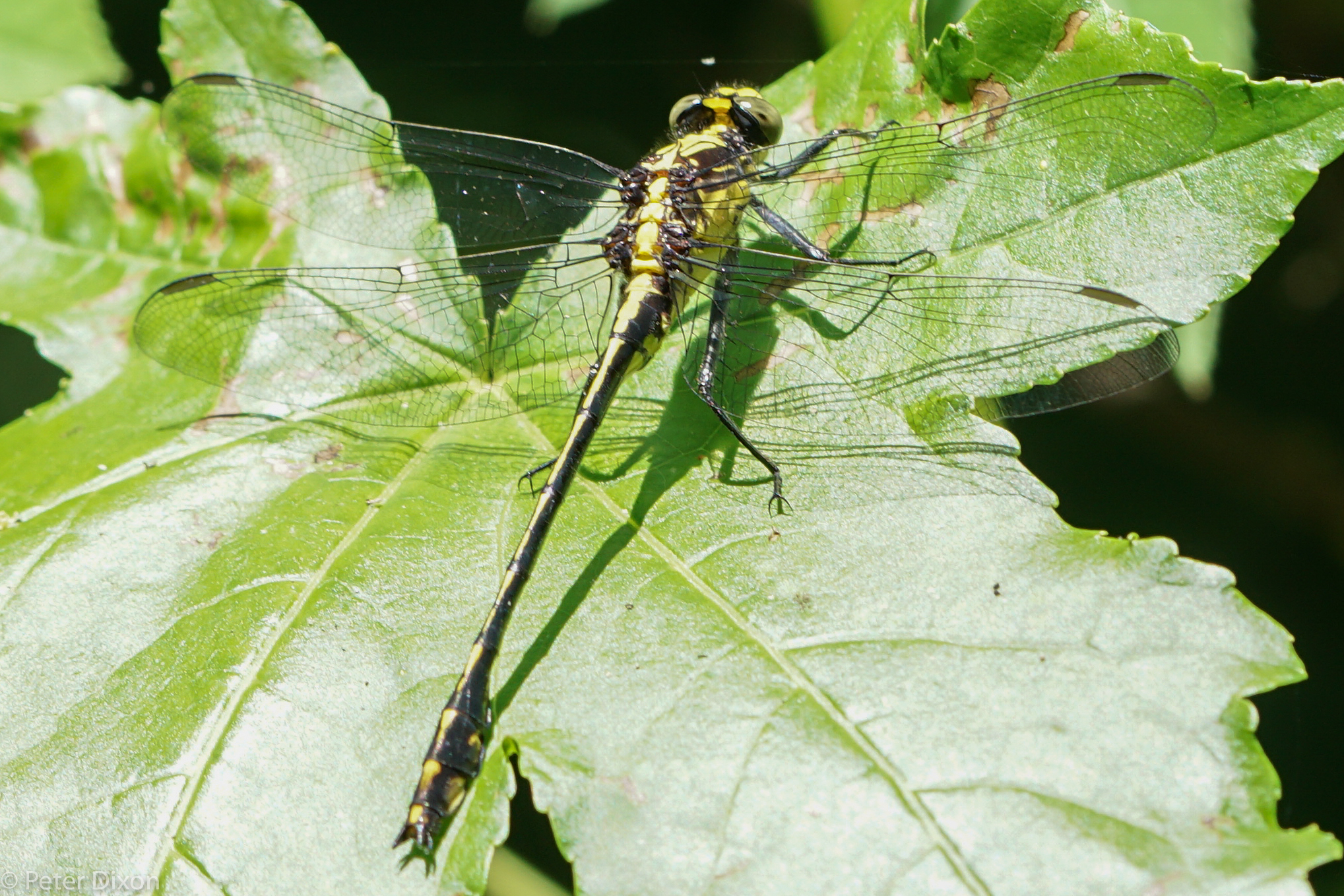
 | Photo 9 by: P Dixon Comment: Madison, 2021-06-27, Hot Springs area |  | Photo 10 by: p dixon Comment: Madison, 2020-06-20 |
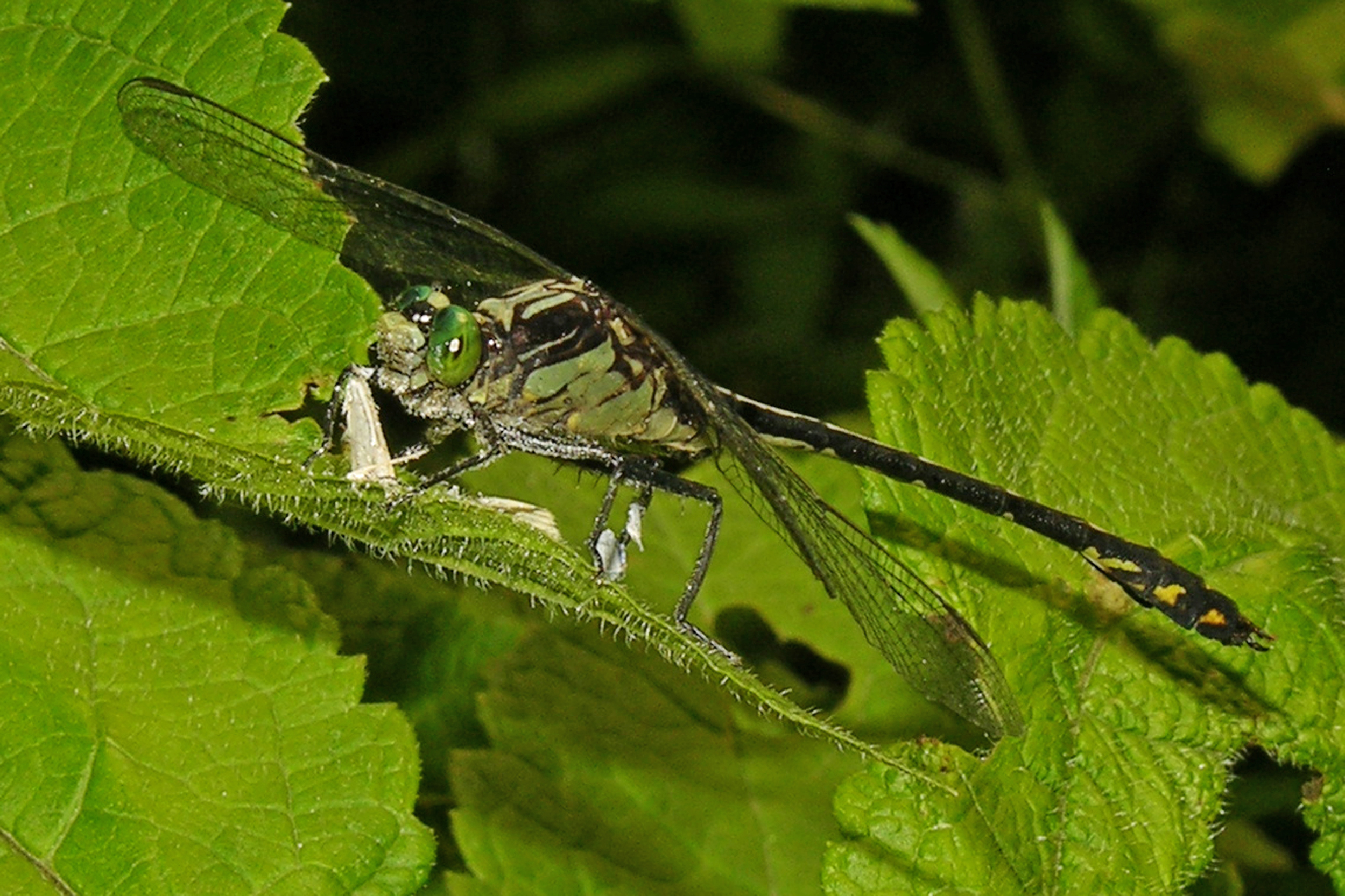
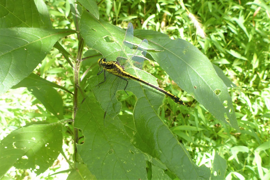
 | Photo 11 by: p dixon Comment: Madison, 2020-06-12, - Killed an Ebony Jewelwing after I took the picture | 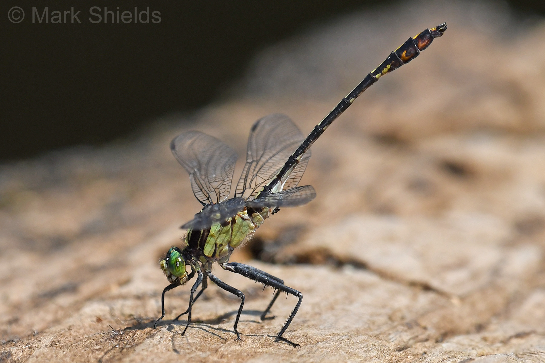 | Photo 12 by: Mark Shields Comment: Pender, 2019-06-28, Black River, from Hunts Bluff Boating Access Area to 5km upstream and back, by kayak |
 | Photo 13 by: R. Emmitt Comment: Durham, 2019-06-13, Eno River State Park down stream of Cole Mill Rd | 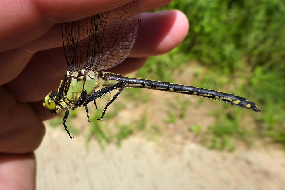 | Photo 14 by: Mike Turner Comment: Montgomery, 2018-08-25, Uwharrie River @ Low Water Bridge |
 | Photo 15 by: Richard Stickney Comment: Yadkin, 2018-08-06, Yadkin River at NC 67 | 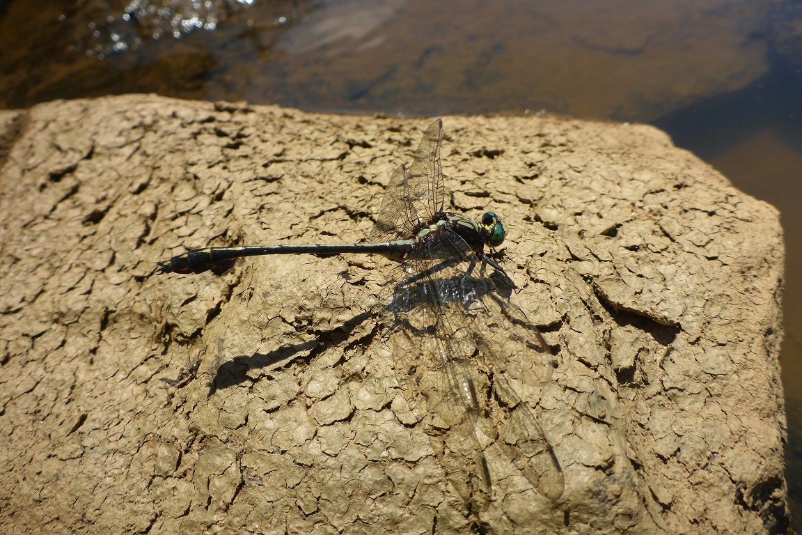 | Photo 16 by: Mike Turner Comment: Wilkes; P, 2018-07-21, W. Kerr Scott Dam and Reservoir; from dam to ~1000' downstream |
 | Photo 17 by: Mike Turner Comment: Yadkin, 2018-07-20, Pilot Mountain State Park - Yadkin River section | 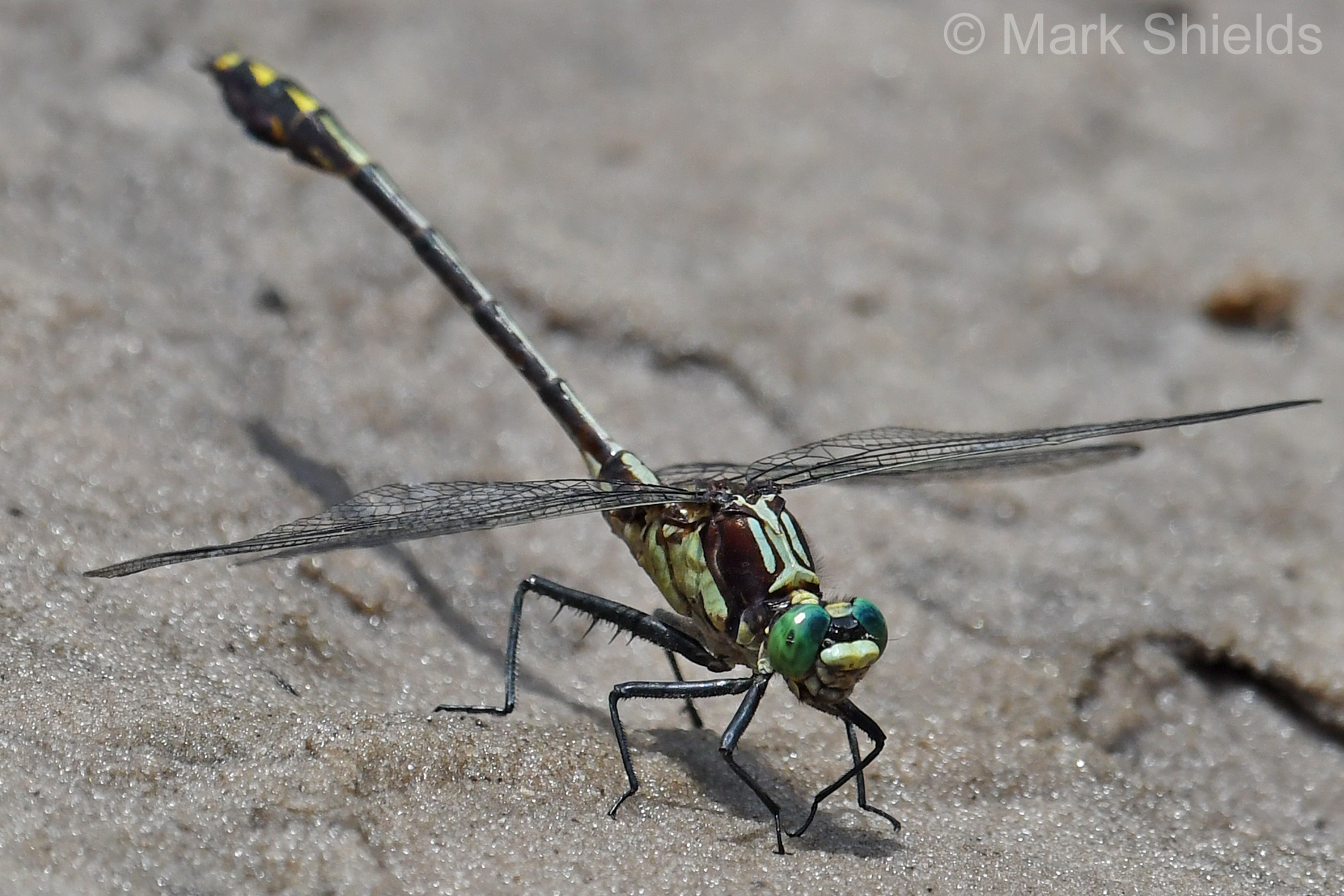 | Photo 18 by: Mark Shields Comment: Robeson, 2018-07-15, Lumber River, from Fair Bluff Boating Access Area to South Carolina line, by kayak |
 | Photo 19 by: John Petranka and party. Comment: Davidson, 2018-07-14, Lexington. Pond at Finch Park and along Abbotts Creek where noted. - Males at Abbotts Creek. | 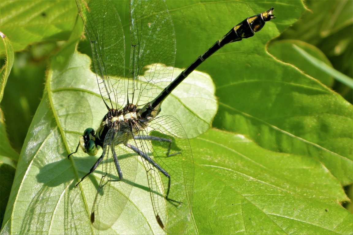 | Photo 20 by: Mike Turner Comment: Surry, 2018-07-11, Yadkin River @ Crater Park; Elkin |
 | Photo 21 by: Richard Stickney Comment: Pender, 2018-07-09, Holly Shelter boat launch off Shaw Highway - unusually dark male |  | Photo 22 by: Mike Turner Comment: Davie, 2018-07-07, Bullhole River Park |
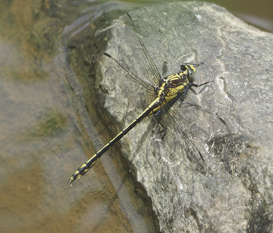
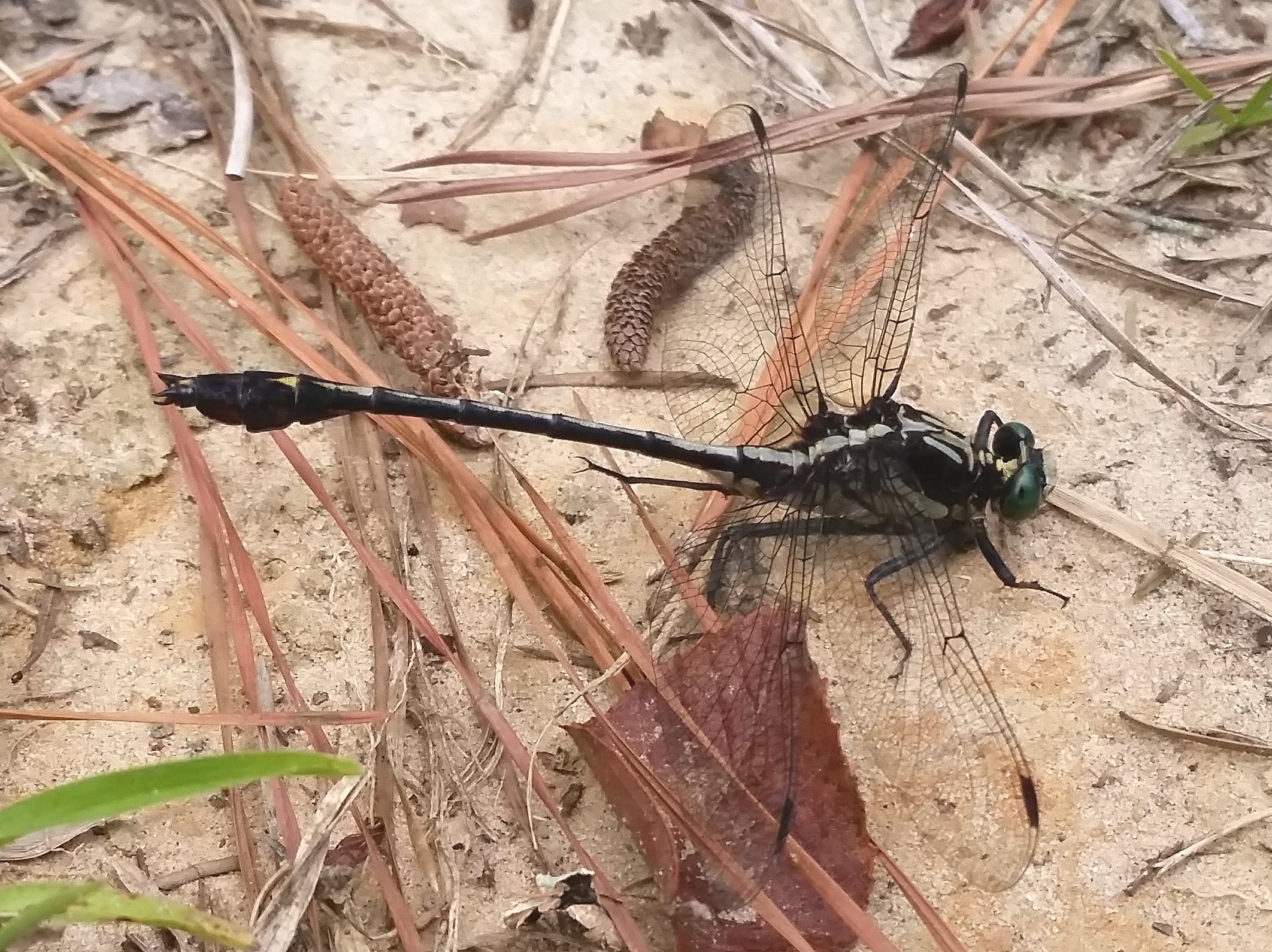
 | Photo 23 by: Mike Turner Comment: Rowan, 2018-07-07, Bullhole River Park | 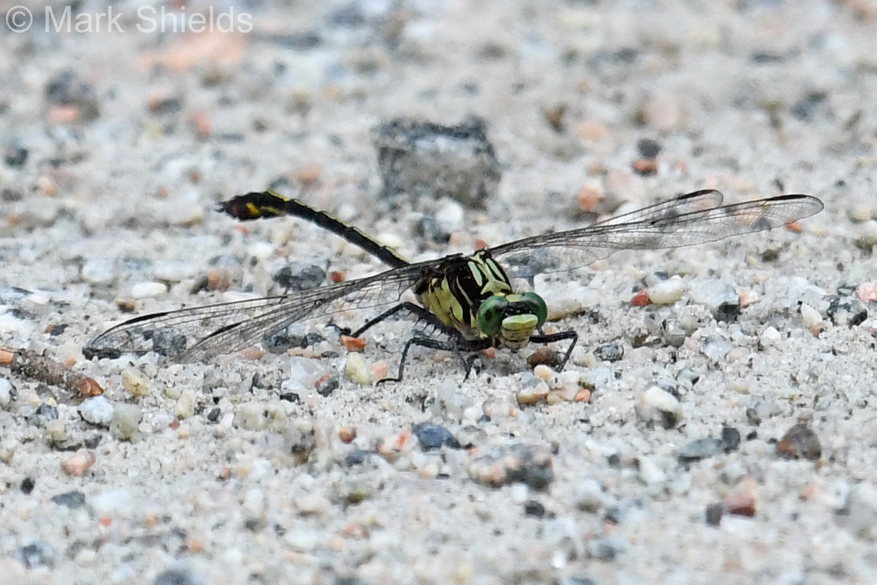 | Photo 24 by: Mark Shields Comment: Scotland, 2018-07-06, Lumber River State Park (LURI) - Chalk Banks Access |
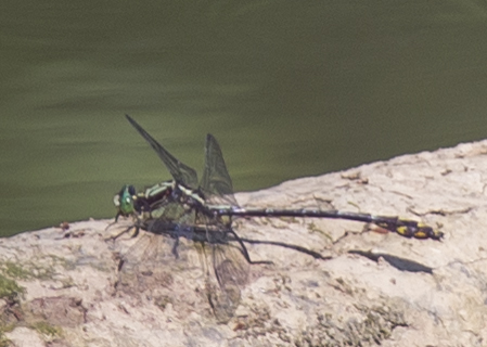
 | Photo 25 by: Mark Shields Comment: Anson, 2018-07-06, Pee Dee River; 2 km stretch upstream from Diggs Tract Access, by kayak | 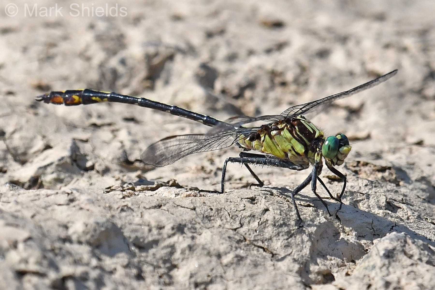 | Photo 26 by: Mark Shields Comment: Richmond; C, 2018-07-06, Pee Dee River; 2 km stretch upstream from Diggs Tract Access, by kayak |
 | Photo 27 by: Mike Turner Comment: Forsyth, 2018-07-02, Tanglewood Park | 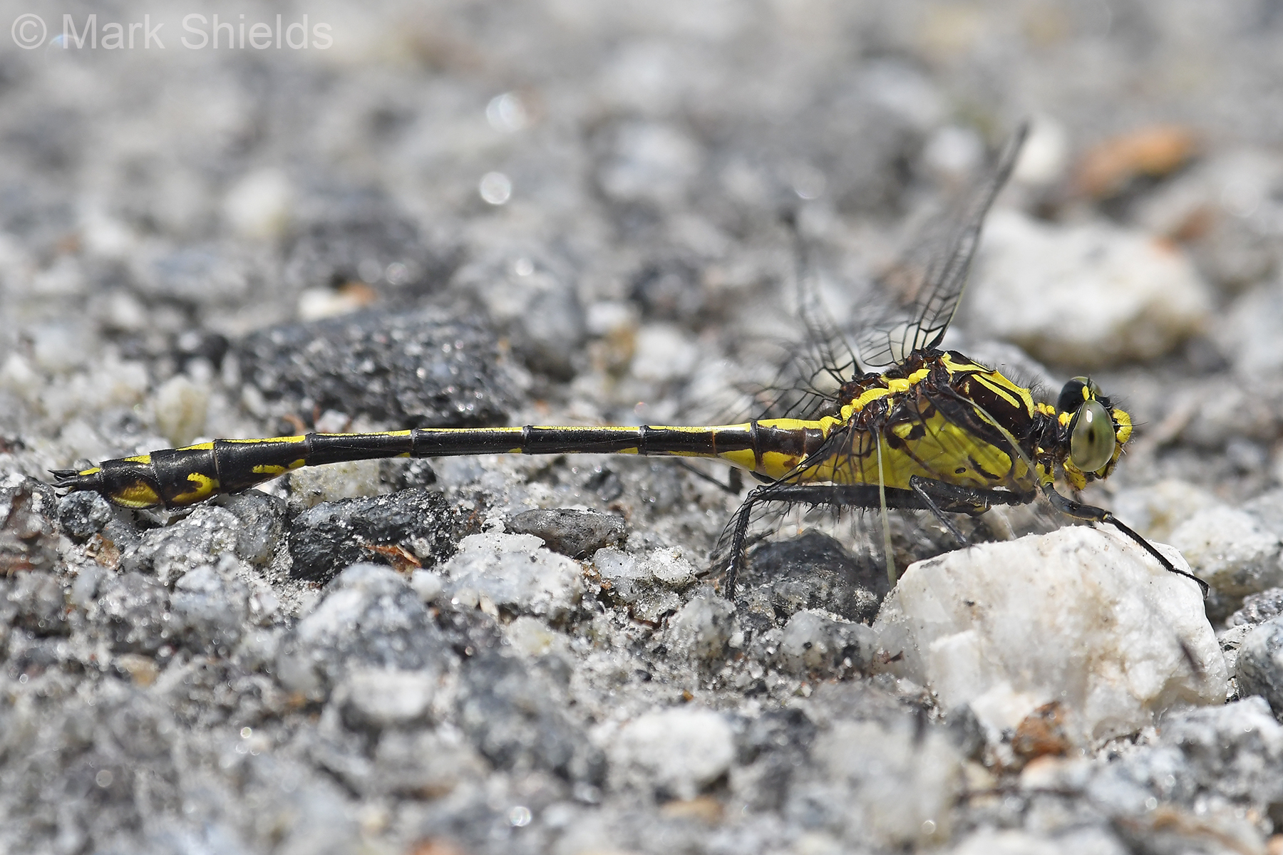 | Photo 28 by: Mark Shields Comment: Jackson, 2018-06-25, Lake Glenville at Powerhouse Access Area - First record for county. |
 | Photo 29 by: Vin Stanton, Janie Owens, Gail Lankford Comment: Madison, 2017-09-19, River Road, north of Hot Springs; 35.92085°, -82.87313° .- Female | 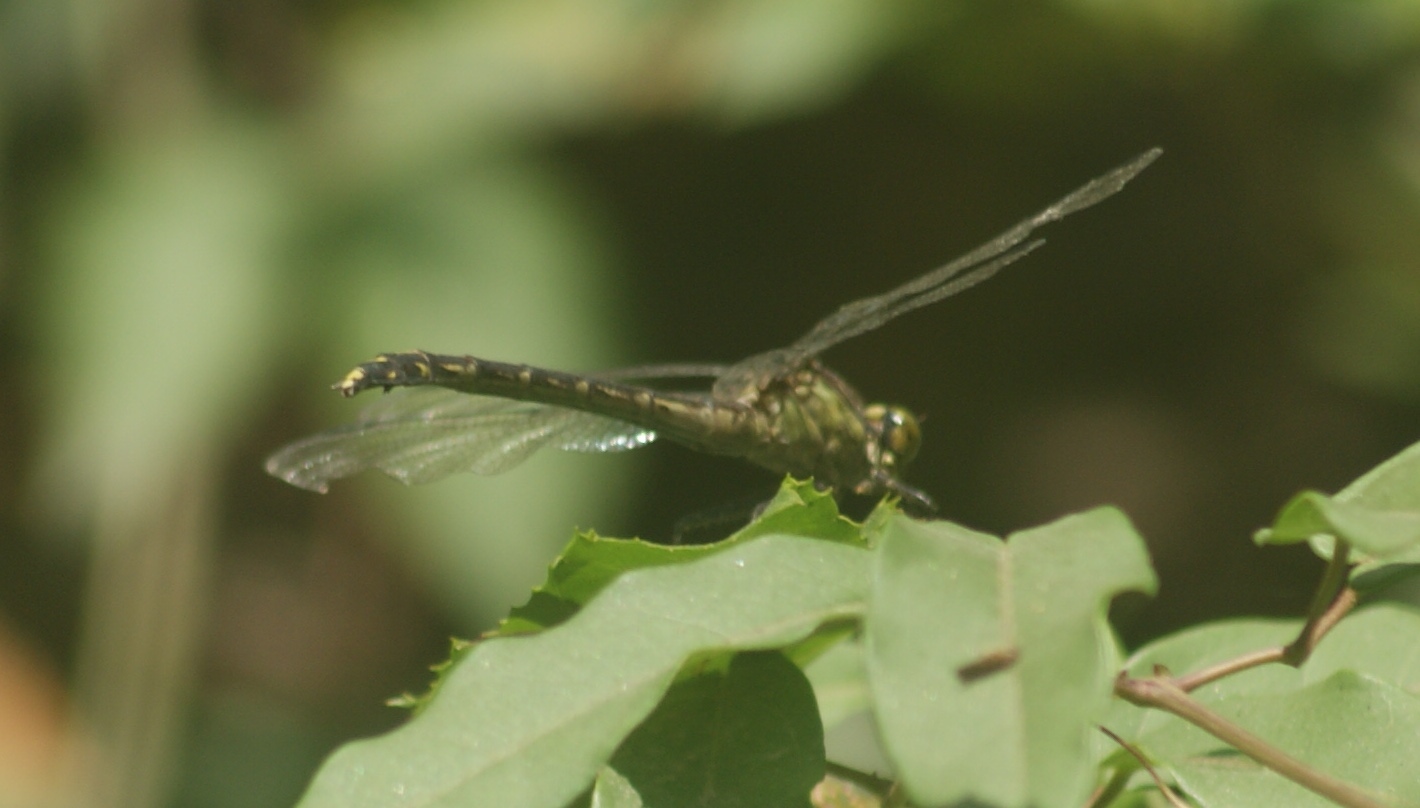 | Photo 30 by: Vin Stanton, Janie Owens, Gail Lankford Comment: Madison, 2017-09-19, River Road, north of Hot Springs; 35.92085° -82.87313° - Female |